Monika’s Cross Border Adventure on St Cuthbert’s Way
By Monika Rusiewicz
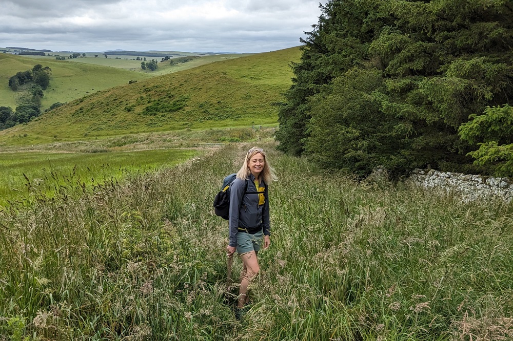
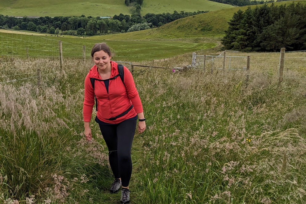
Last summer, I was given the opportunity to walk St Cuthbert’s Way, which runs from Melrose in the Scottish Borders to the Holy Island of Lindisfarne in Northumberland. I was once again joined on this adventure by my sister, Aggie.
The walk is named after the 7th century saint who began his religious life in Melrose before eventually becoming the Bishop of Lindisfarne. It links key locations associated with the life of St Cuthbert.
Day 1: Melrose to Harestanes
This morning, we made our way to Melrose Abbey, the official start of St Cuthbert’s Way. Today’s walk began with the steep climb out of Melrose towards the Eildon Hills. The Way runs between the Eildon Hills, where you can choose to climb either Eildon Hill North or Eildon Mid Hill, or simply continue along the path between them. Either way, you are rewarded with amazing views of the Scottish Borders.
From here, we descended through woodland down to the pretty village of Bowden, before following the River Tweed round into Maxton, where we stopped to admire Maxton Kirk. From Maxton, we took a quiet country road for a short time before breaking off onto the old Roman Road, Dere Street, which we followed almost all the way to Harestanes Visitor Centre. There, we stopped for ice cream while waiting for our taxi to pick us up and transfer us to our overnight accommodation in Jedburgh, as there is nowhere to stay in Harestanes.
Day 2: Harestanes to Morebattle
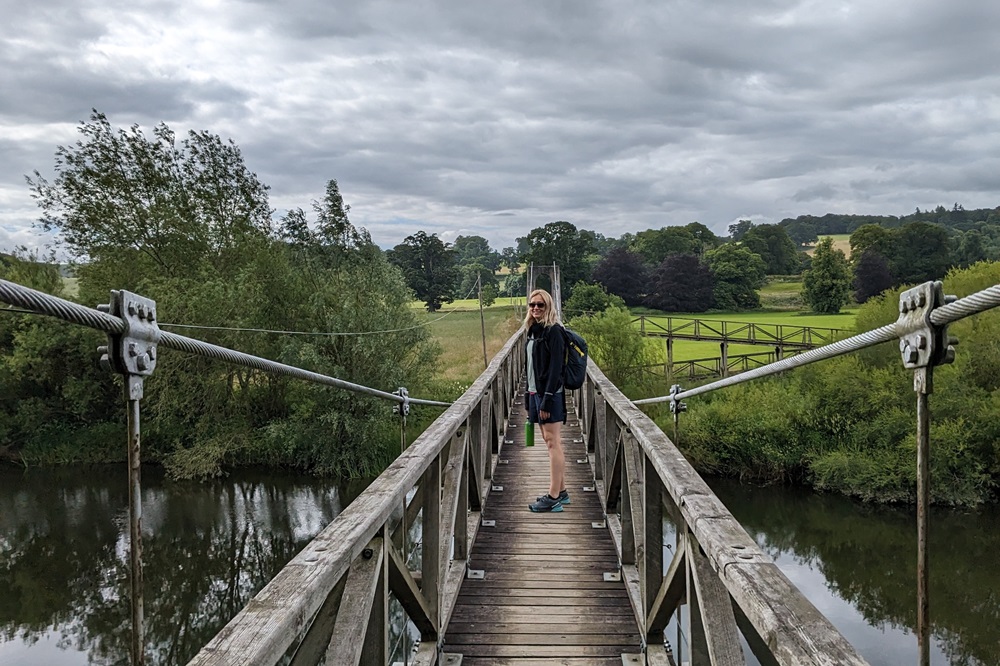
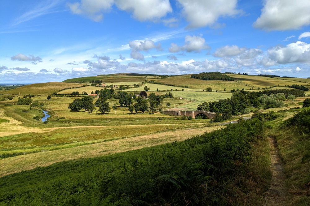
We were dropped off back at Harestanes Visitor Centre and soon picked up the trail we had followed the previous day, winding through woodland around the Monteviot Estate before crossing a long suspension bridge over the River Teviot. After a short walk along the river, the Way led us through rolling farmland, fields, and more woodland paths until we reached Cessford Castle. This L-shaped fortified tower, originally built in the mid-15th century, was designed to withstand regular assaults while offering maximum protection. It certainly saw its fair share of conflict, as it was attacked four times between 1519 and 1544 by English forces. Although a ruin now, it is definitely worth a visit.
The last two and a half miles of today’s walk were along quiet country roads, leading us all the way to our overnight stop in Morebattle. As we arrived in the village at 3pm, and check-in at our accommodation wasn’t until 4pm, we stopped at the village shop, which is now owned and run by the community. We had a lovely chat with a lady who volunteers there, and she showed us their visitor book, which was very interesting. Sitting outside, we looked through the book, which had been signed by people from all over the world, some walking St Cuthbert’s Way, others simply visiting Morebattle. Obviously, we had to leave our mark as well, so after signing the book and finishing our ice creams, we made our way to our overnight accommodation.
So far, both of our walking days have been quite different in terms of landscape, and as we would later find out, this would continue throughout the week. Our first day was mainly along riverside paths, today on the other hand was mainly farmland and woodland, with only a short section by the river. Let’s see what the rest of the week brings!
Day 3: Morebattle to Kirk Yetholm
We woke up this morning to grey skies. As today’s walk was going to be one of the shortest, at just over six miles, we decided to have a leisurely breakfast and see if the weather would improve at all. We eventually left our accommodation around 10am after spending some time chatting with our lovely host, Kerry. Leaving the hotel, we followed the road through Morebattle before turning off the main road and heading towards Hownam.
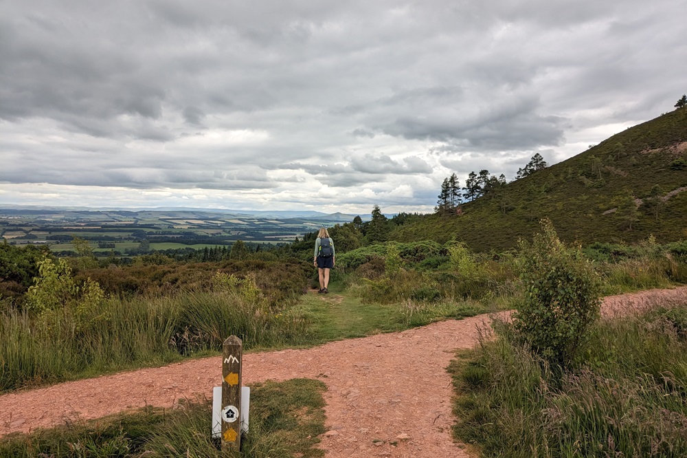
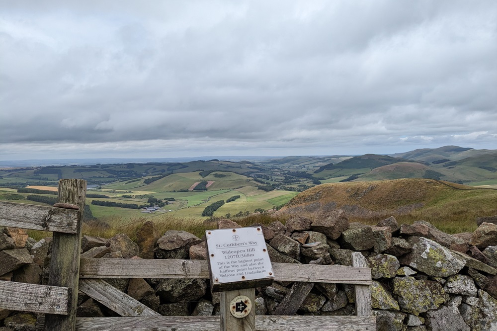
We crossed the bridge over the Kale Water, leaving the road section behind us. From here, we began our climb, starting with an overgrown field where it was clear that not many walkers had been before us. With plenty of time on our hands, we took it slowly, making numerous stops, some to catch our breath, others to admire the views. The scenery up there definitely lived up to the hill’s name. From there, we could see the Cheviots, the village of Yetholm, where we were headed this afternoon, and, in the distance, the Eildon Hills, which we had passed on our first walking day.
We eventually reached the top of Wideopen Hill, the highest point of the Way at 368m and also approximately the halfway point. We didn’t stick around at the top for too long, as it was really windy up there. Instead, we decided to drop down slightly to find some shelter so we could stop for an early lunch. Whilst we were up there, we remembered that we had previously walked this very same section of St Cuthbert’s Way back in autumn 2020, under very different circumstances. We had been staying in nearby Kelso for a few days, and it was the first time we had seen each other after lockdown. Oh, how times have changed! Yet, despite everything, this section of the path was just as quiet as it had been all those years ago, with our only company being sheep and cows.
Once we had finished our lunch, we decided to take our time on the descent, after all, it wasn’t even 1pm yet. We made our way down the grassy hillside, which was quite steep in places, before joining a minor road for about a mile. From there, we followed a riverside path all the way to Kirk Yetholm, our overnight location. Kirk Yetholm is a busy place with walkers, as it’s not only an overnight stop on St Cuthbert’s Way, but also the official end point of the iconic Pennine Way.
Day 4: Kirk Yetholm to Wooler
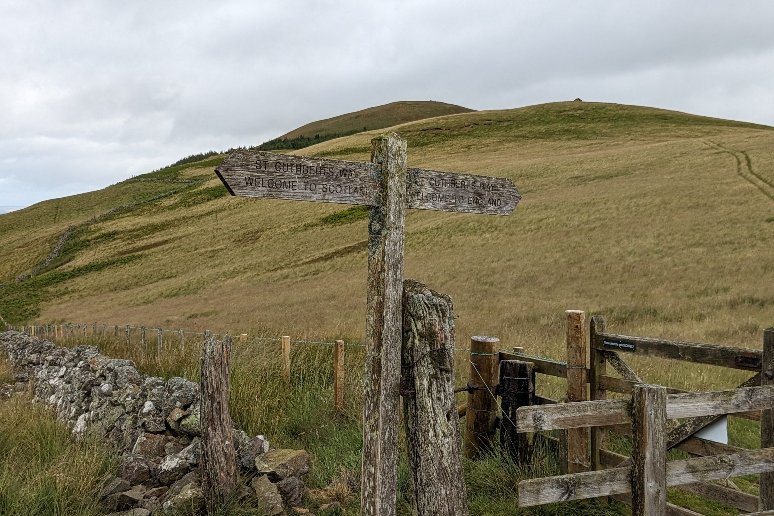
Today was expected to be the worst weather of the whole trip, with winds of up to 40mph and rain all day. We would have quite happily stayed at our lovely B&B in Kirk Yetholm, watching the weather from our rooms, but unfortunately, this was not an option. So, after a delicious breakfast, and supplied with a generous packed lunch, including the best flapjack of the trip, we set off on our walk over the Cheviots and into England.
Having left our accommodation, we followed the road through the village. After about a mile, we crossed the Halter Burn and began climbing onto Green Humbleton. This first section of today’s walk is also the very last section of the Pennine Way. Another 400 metres and we reached the border fence between Scotland and England, with its twin signpost. Once through the gate, there is a final climb, which was a bit of a struggle in the windy conditions, as we were very much out in the open, but we made it, and from there the path descended steadily to a small plantation.
From there, we followed a quiet country road all the way to the small hamlet of Hethpool, which meant we had completed the first 5 miles of today’s walk, with another 8 to go before reaching our overnight stop in Wooler.
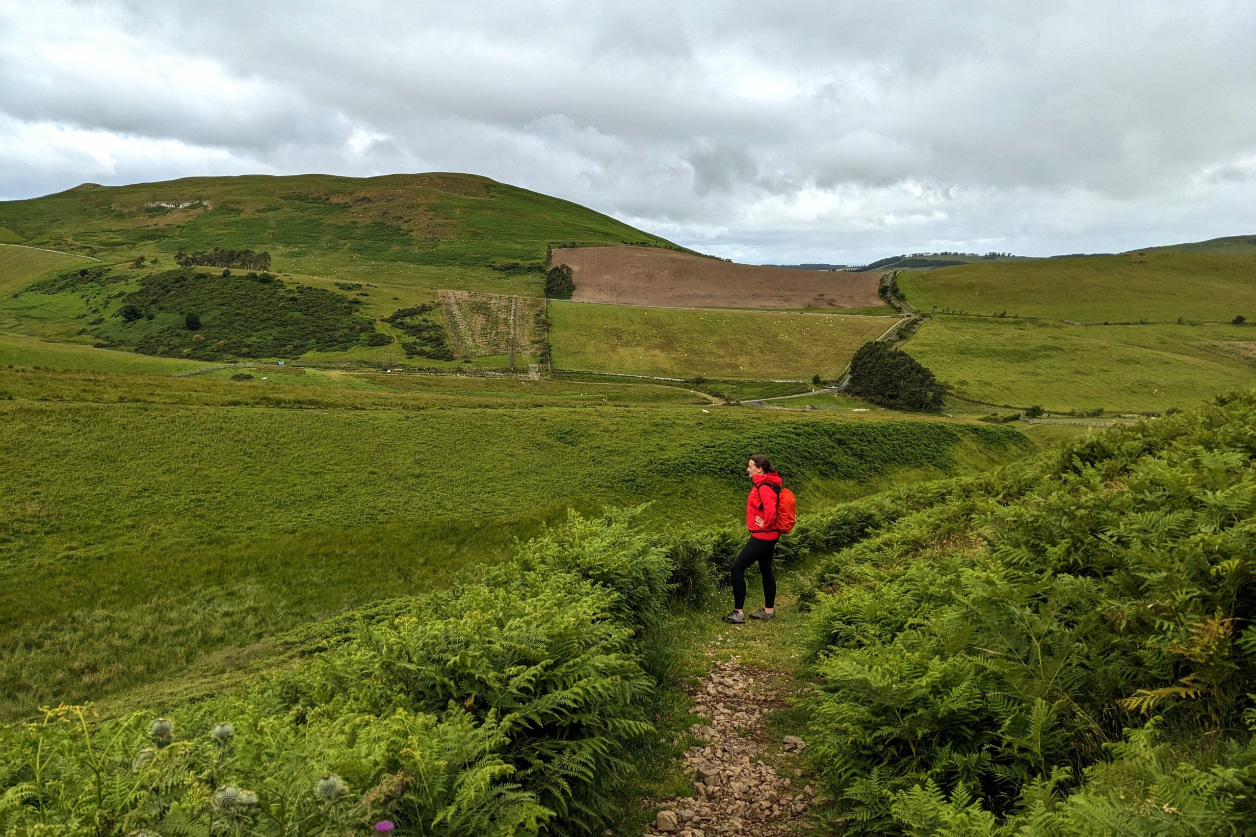
Leaving Hethpool behind, we crossed the Collage Burn and followed the path through the bracken for short while. The wind, though still strong, has eased off a bit, and as it wasn’t raining at the moment, we decided to look for somewhere to stop for an early lunch. We found some ruins just on the edge of the forest and decided this would be the place. Unfortunately, not long after we sat down, the rain picked up again, so we quickly finished our sandwiches, packed up, and continued on what was now a track taking us into the woods.
Before long, we began the second climb of the day, which was an ascent on the side of Yeavering Bell and Tom Tallon’s Crag. At this point, the rain got much worse, so we put our heads down and marched on, trying to get through the next section as quickly as possible. It was a shame though, as this section was taking us through some heather that was just starting to bloom, which would have been absolutely stunning on a nice day. Unfortunately, on a day like today, there was no stopping to admire the surroundings. We kept our height for a while before steadily descending into Wooler Common.
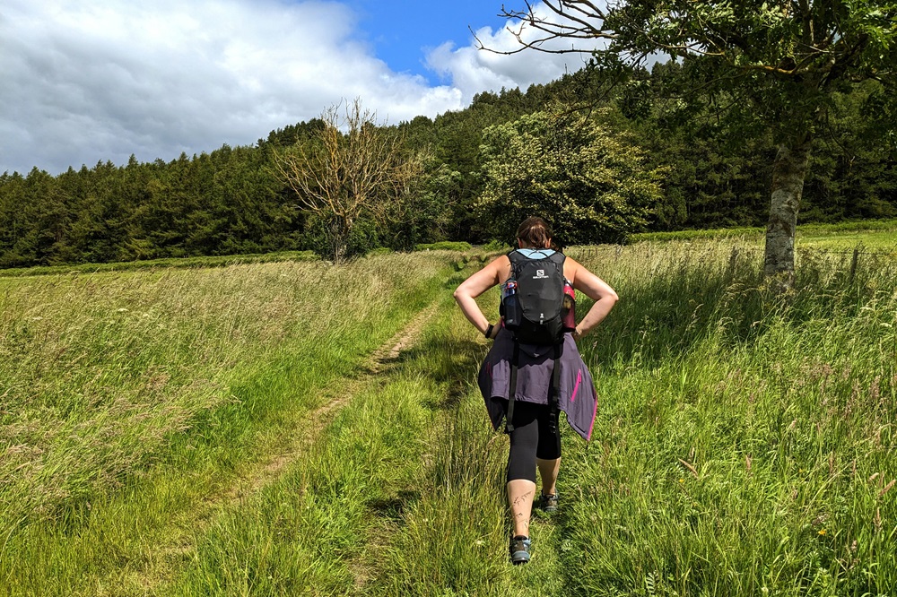
From there, the end of our day’s walk was definitely in sight, and at last, the weather improved, the rain stopped, and we were finally greeted with a bit of sunshine. The last stretch was a gentle climb through woodland, with paths that were quite overgrown in places, before finally descending into Wooler, where we would stop for the night.
An interesting day walking through the Cheviots, with hardly anyone else met along the way. It was quite challenging at times, mainly due to poor weather conditions, with lots of ups and downs. Let’s see what tomorrow brings.
Day 5: Wooler to Beal
We left our accommodation and made our way through Wooler and out of the village. Soon, we were climbing over Weedwood Moor. After reaching the top of Weetwood Moor, we descended a grassy path until we reached a country road. We carefully crossed the road and found ourselves on Weetwood Bridge over the River Till.
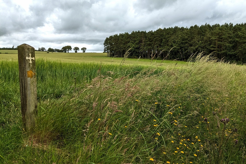
From there, we followed a small country road for just under two miles, passing through the villages of West and East Horton. Once we passed the last buildings of East Horton and left the road behind, we joined a farm track that we walked on for the next three miles until we reached St Cuthbert’s Cave Wood.
We took a very short detour to St Cuthbert’s Cave, where we stopped to have lunch. We were not the only walkers who had exactly the same idea, upon arriving, we spotted a couple and a gentleman who had stayed at our B&B the night before. We said hello to them, and after exploring the cave itself, we decided to have our lunch on one of the big boulders next to the cave.
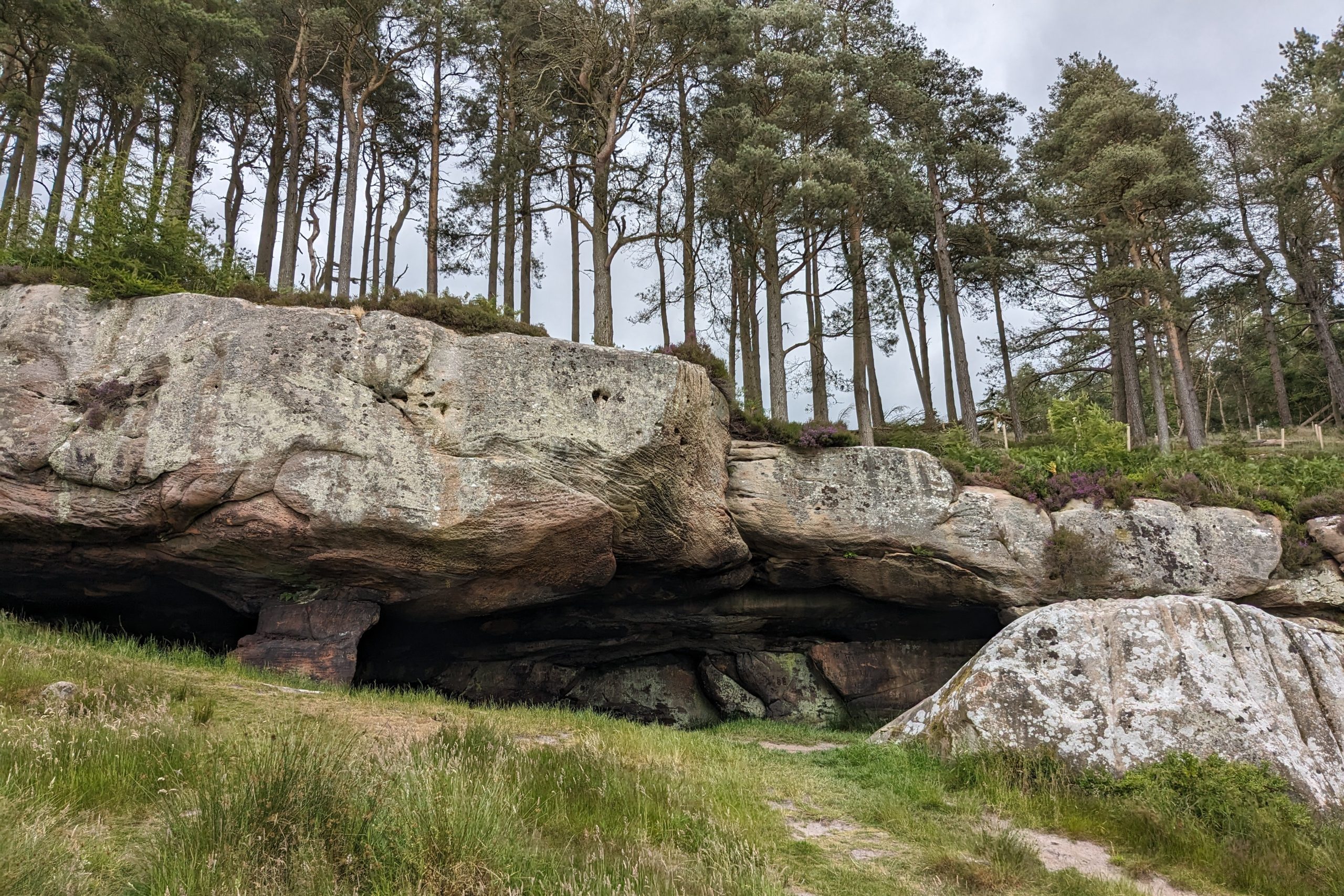
St Cuthbert’s Cave is a sandstone overhang where the saint’s body is said to have been taken by the monks in 875 AD during their flight from Lindisfarne, following repeated Viking raids on the island. St Cuthbert’s body was then transported over a period of 8 years to Chester-le-Street, where it remained for over 100 years. From there, it was eventually moved to Durham Cathedral, its final resting place.
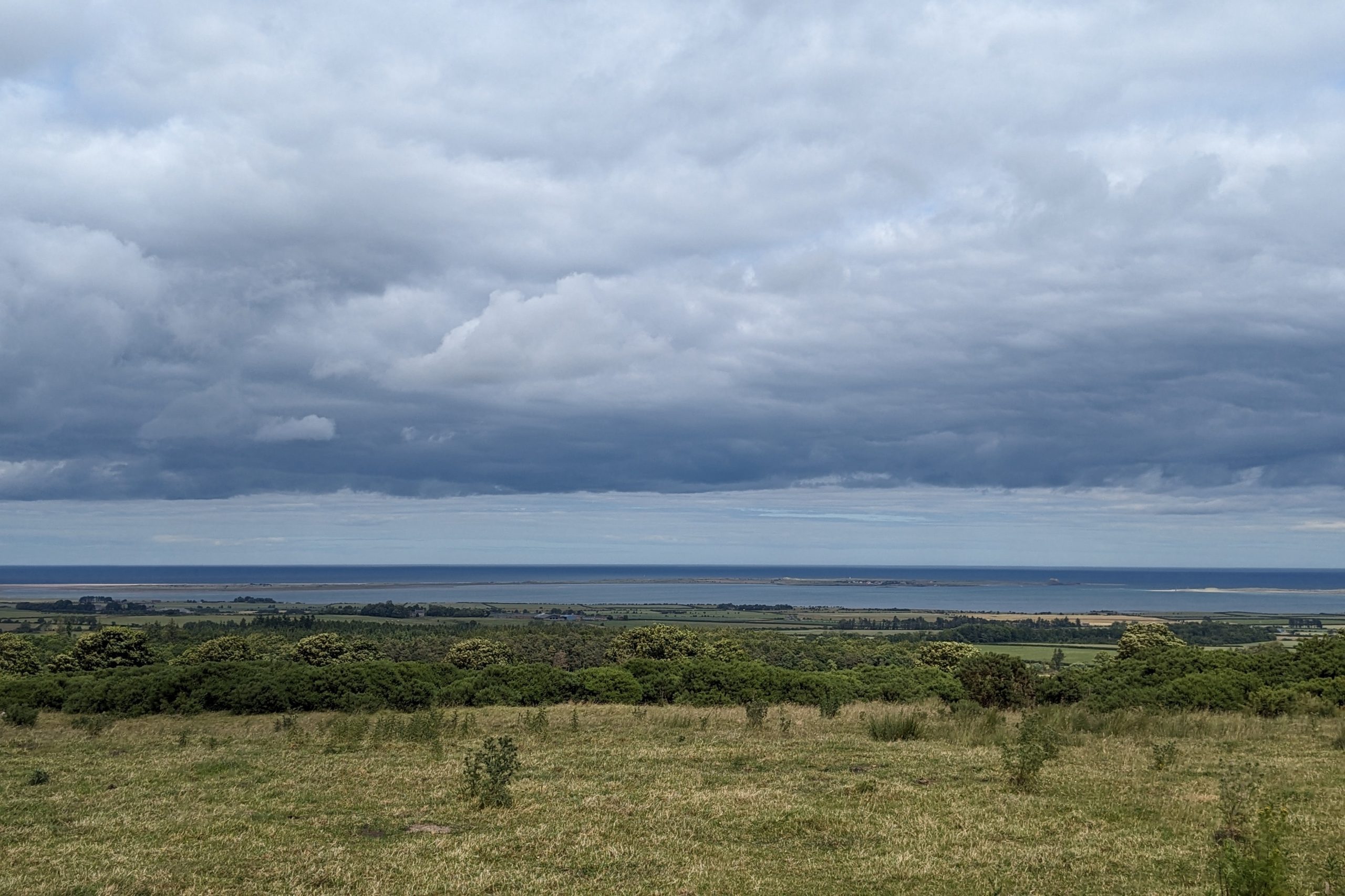
After lunch, we rejoined the path, and after a short climb through woodland, we reached what would be the last climb of the whole Way. From that point on, it was all going to be downhill until we reached Lindisfarne. It was here that we first caught sight of our final destination, the island of Lindisfarne. We walked passed some fields with cattle (luckily for me they were on the other side of the fence, as I’m not a big fan of cows) and eventually reached the Kyloe Old Wood. This next section through the woods, and eventually into Fenwick, is shared with both the Northumberland Coast Path and St Oswald’s Way (the latter runs in the opposite direction). We followed the track through the woods for a couple of miles until we reached a minor road that took us into centre of Fenwick. As we were staying in nearby Beal, we had another mile and a half to walk along a quiet country road before we reached our overnight accommodation.
Day 6: Beal to Lindisfarne
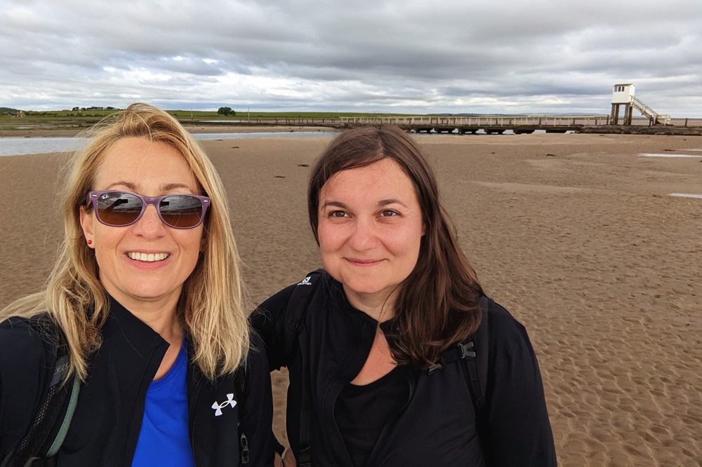
The last stretch of St Cuthbert’s Way was the shortest day of the whole trip. Today, we had the choice of reaching the island either by walking down the causeway or following the Pilgrims’ Route. We decided to do the latter, in true St Cuthbert’s style, by following the sands. As it was only safe to cross between 7am and 2pm, we set off early enough to take the route over the sands. If you decide to take this route, you should aim to complete it before the midpoint of the safe-to-cross time period, meaning we ideally had to reach the island before 10:30am.
As we stayed in Beal last night, we decided to follow the minor road from our accommodation to the start of the causeway, as we didn’t think we had enough time to retrace our steps back to Fenwick and follow the trail through the fields past Fenhamhill to the start of the crossing.
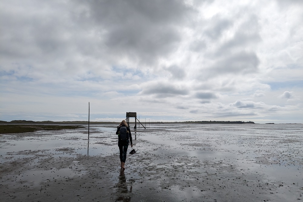
Once we reached the causeway, we took off our shoes and socks and followed the wooden posts that mark the Pilgrim’s Route, which is just over two miles long, all the way onto the island. The crossing didn’t take us very long and we arrived on the island before 11am. The crossing over the sands certainly seemed like the perfect ending to our adventure!
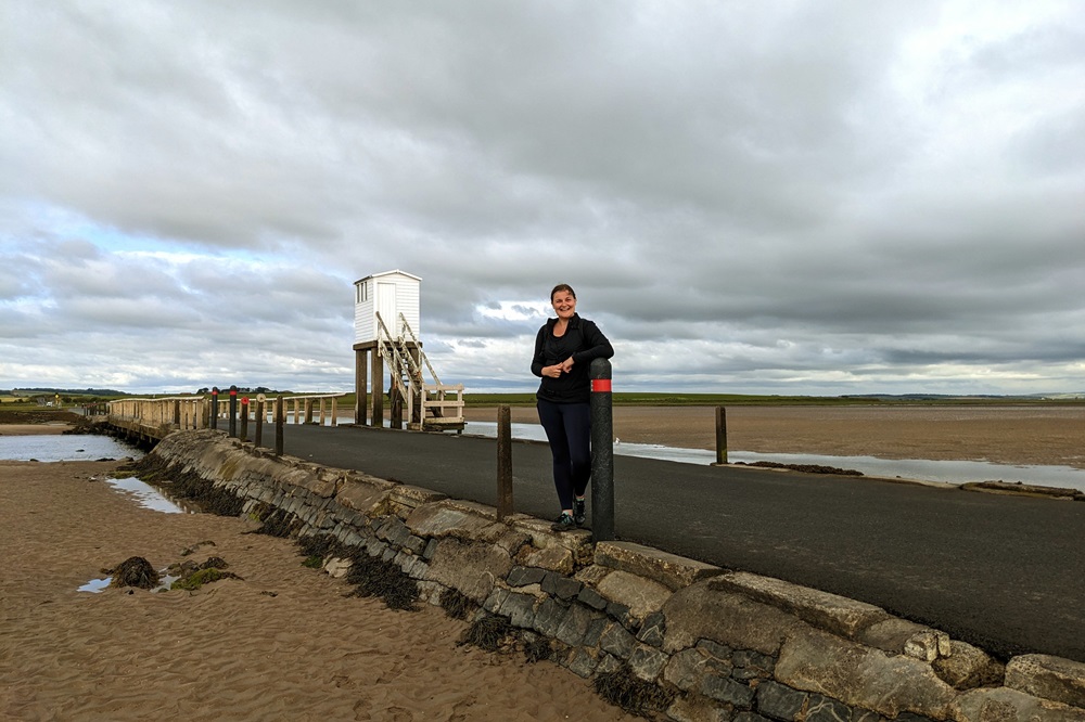
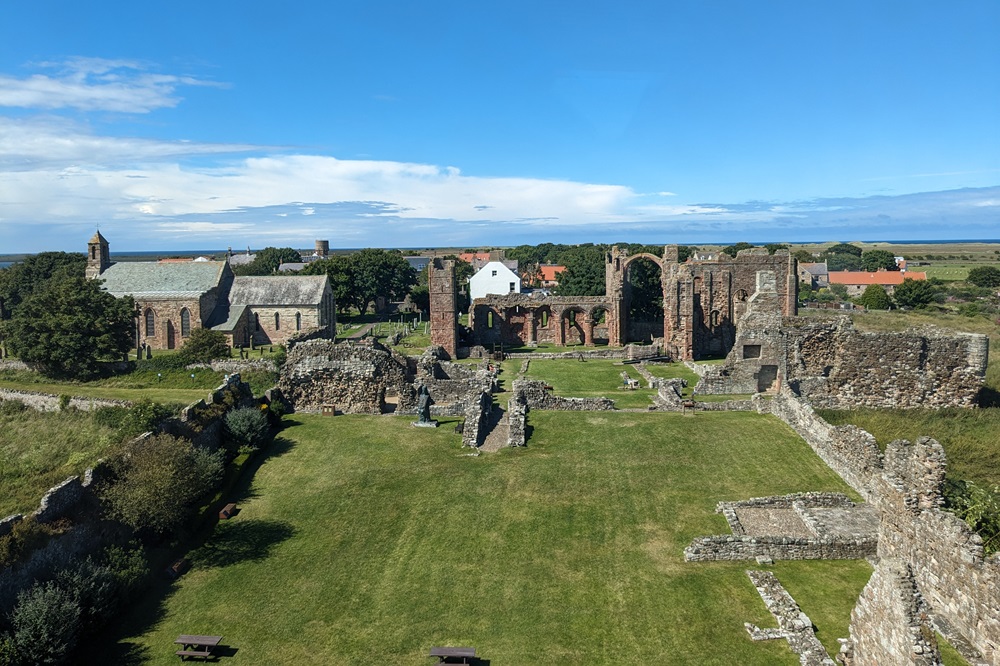
Once we reached the island, we quickly cleaned our feet, put our shoes back on, and made our way through the island to Lindisfarne Priory, the official endpoint of St Cuthbert’s Way. Once there, we decided to celebrate with coffee and cake, followed by a wander around the village.
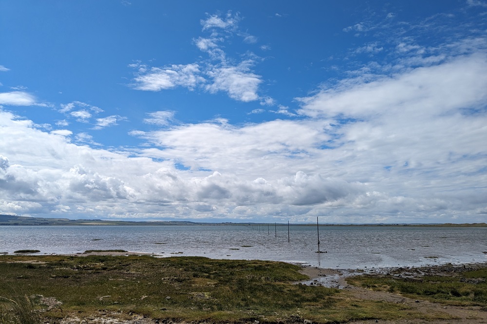
After lunch, we found a seat just at the start of the causeway and decided to stay there for a bit, watching the water rise and slowly cut us off from the mainland. We watched many day-trippers leaving the island before the cutoff for the safe crossing, some of them taking their chances and crossing up to 30 minutes past the safe crossing time. The last car eventually made it through shortly after 2:30pm, and we decided it was time to make our way to our accommodation. We checked in, left our rucksacks in our rooms, and decided to explore the island a bit more.
Lindisfarne is a completely different place during high tide, once all the day-trippers leave. It becomes a peaceful place, filled with just a few locals and people staying on the island overnight.
We wandered down to the castle, which sits proudly on top of a hill overlooking the whole island. We walked around the back of it (unfortunately, we couldn’t go inside, as it’s only open during low tide) and spotted some seals basking in the afternoon sunshine. From there, we walked back past the Priory to St Mary’s Church, which contains a wooden sculpture called ‘The Journey.’ It shows six monks taking St Cuthbert’s body from the island on a journey across the North during the Viking raids.
There really is a lot to see on Lindisfarne, so if, unlike us, you arrive on the island later in the day, I would recommend taking a rest day there to fully experience everything the island has to offer.
St Cuthbert’s Way is definitely one of the quieter routes, so if you’re looking for a trail to experience peace and tranquility, you should definitely consider this route. Most days, we only met a handful of walkers, so it felt like we had the whole trail to ourselves. The route is very well waymarked throughout, so navigation shouldn’t be a problem. We didn’t need to use our guidebook during the day and only referred to it in the evenings, when we were reading about the places we had passed and what lay ahead the following day. The walking itself is very varied. We went from riverside paths to farmland tracks, then over rolling hills and moorlands, eventually reaching the coast and our final destination, Lindisfarne. Every day is different, and that’s one of the reasons why this walk is so enjoyable.
For further information and to book your St Cuthbert’s Way adventure email us [email protected] or call us on 017687 72335 to speak with one of our walking holiday experts.