The Dales High Way – An Absolute Corker!
By Shelley Watson
What a route! I can truly say hand on heart that the Dales High Way was an absolute corker. 94 miles following the glorious high ground over the West Yorkshire Moors, the Dales limestone country and the Howgills Fells.
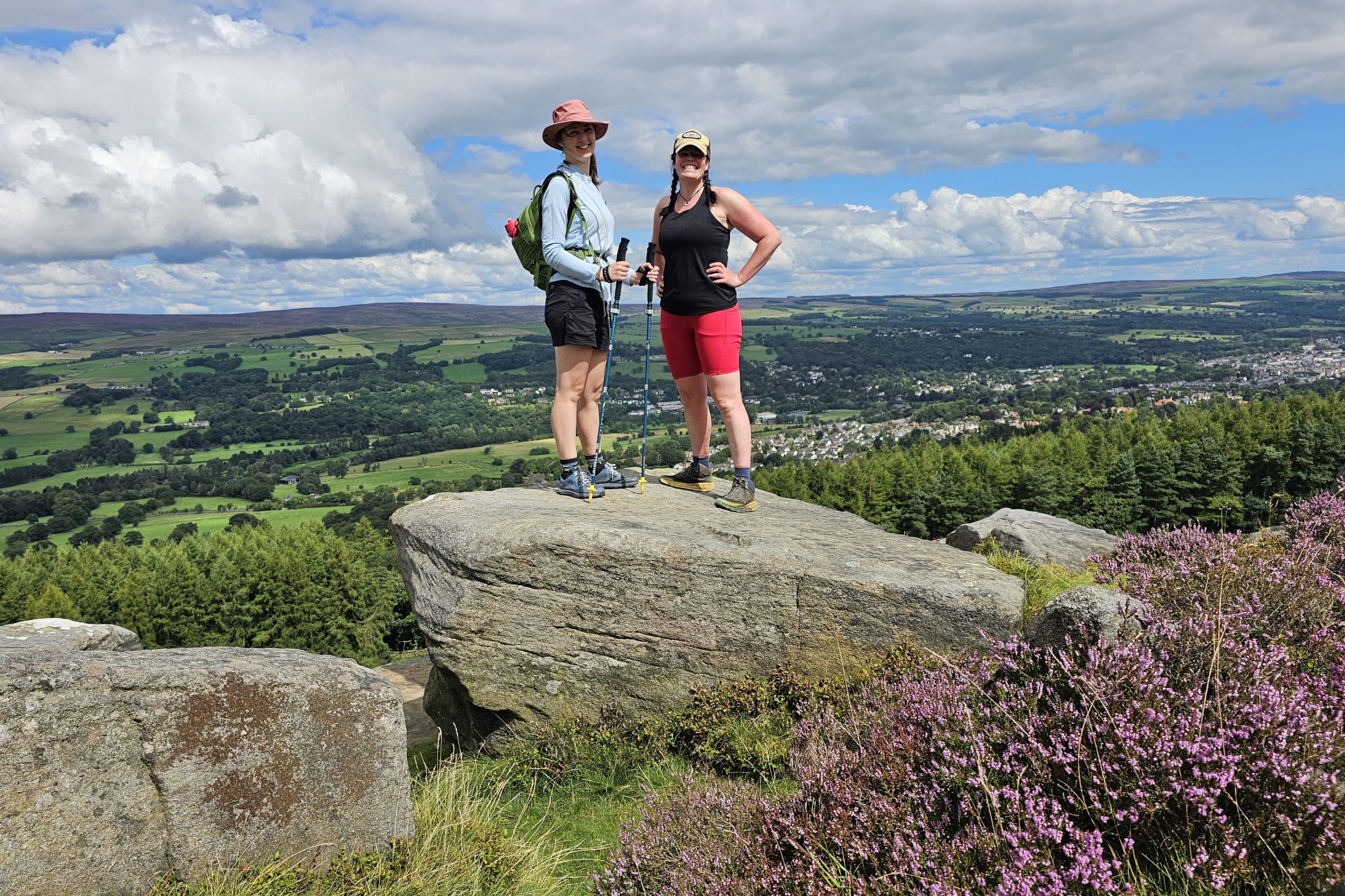
Saltaire to Skipton
The route starts in Saltaire and we were so eager to start we opted for an evening walk before we started our journey. Although so close to a busy urban area, Saltaire itself has a maze of woodland and canal paths along with an extremely pretty nature reserve/public garden.
All of this beautiful open space is exactly why Saltaire was built. Titus Salt a manufacturer, politician and philanthropist in Bradford wanted a better place for his workforce, to get them out of the slums of Bradford, and thus Saltaire was born. Along with the Salt Mill Titus Salt also made his wealth from the weaving industry and produced a durable cloth from alpaca and silk. You can find a bronze alpaca sculpture in the park to celebrate this.
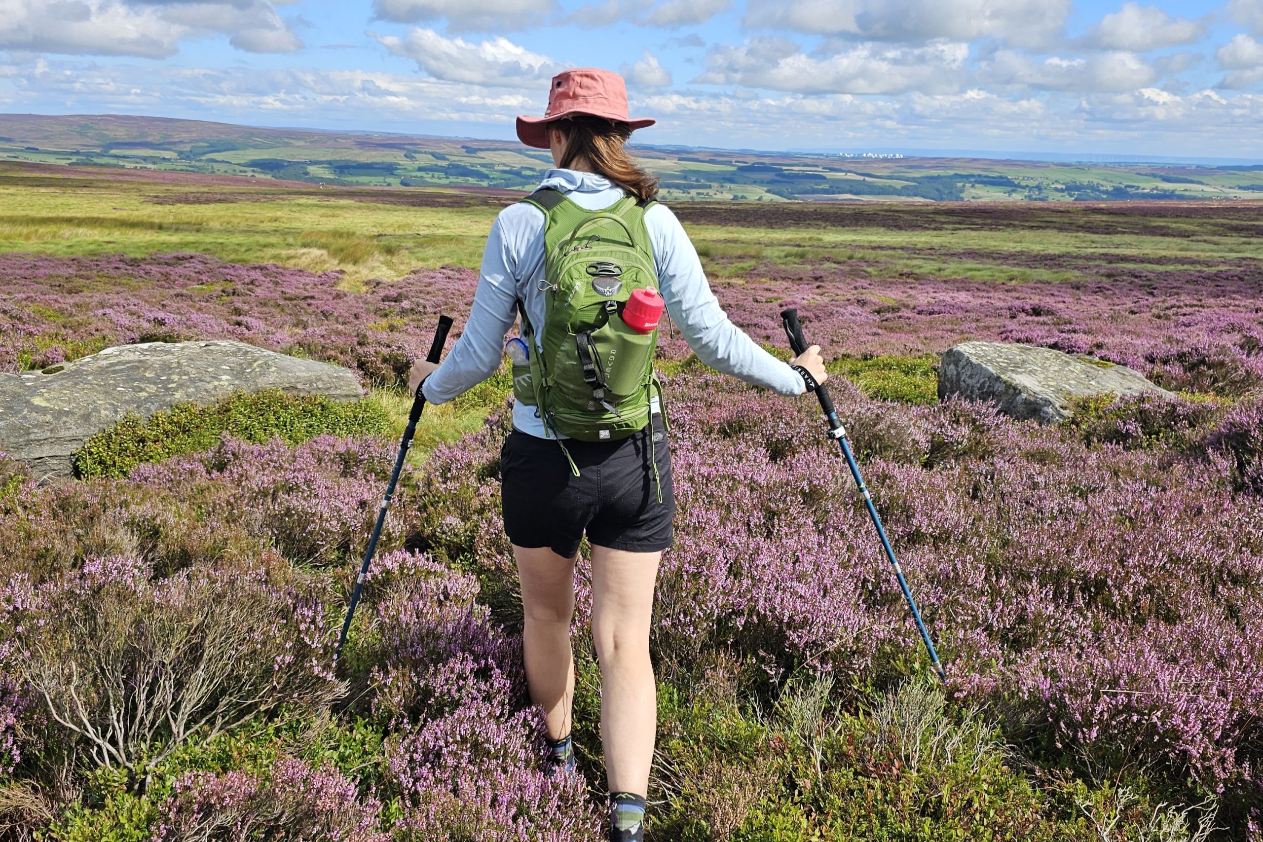
Myself and my friend Hana had opted to walk the route in 6 days so our first day will be from Saltaire to Skipton (just shy of 19 miles and approx 845 metres of height gain). As this is a long walking day we opted for an early breakfast. The route started with a short walk down the canal tow path before quickly heading out onto the rolling hillside and heather clad moors. We were fortunate that the heather was out in full glory and looked magnificent.
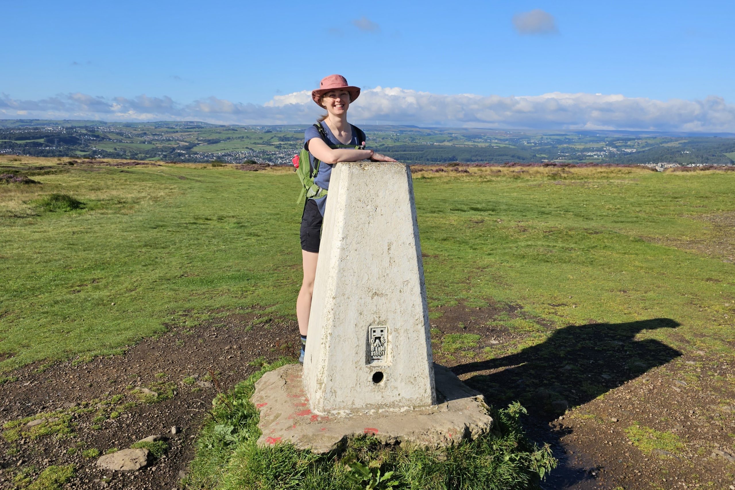
The walk itself was so peaceful and we mainly had it to ourselves so enjoyed the tranquility and the sounds of nature.
Satisfied but tired we tucked into a fabulous Thai meal before heading to relax in our very comfortable B&B.
Skipton to Settle
Our second day was yet another lengthy day from Skipton to Settle with just over 19 miles and over 1000 metres of height gain. The height gain throughout was gradual however and never felt arduous.
We started walking over rolling hillside and were soon on Sharp Haw looking over some of the valley ahead.
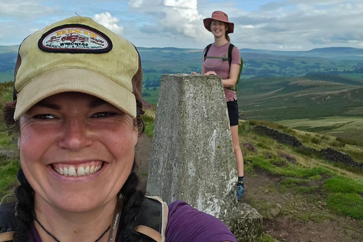
The route then took us next to the river in the valley and through lots of fields and farmland. We then passed the shimmering water of Winterburn Reservoir before returning to the rolling hillside.
This rolling hillside was then interrupted by the imposing limestone hills of Mallam. Mallam Cove itself is a striking amphitheatre of limestone wedges. Also known for being in one of the Harry Potter movies.
If you have more time to extend your route or add a rest day you can walk through the woodland to Janet’s Foss. A picturesque waterfall said to be home of Janet Queen of the Fairies or if you’re feeling more adventurous and are well versed in scrambling you can tackle Gordale Scar.
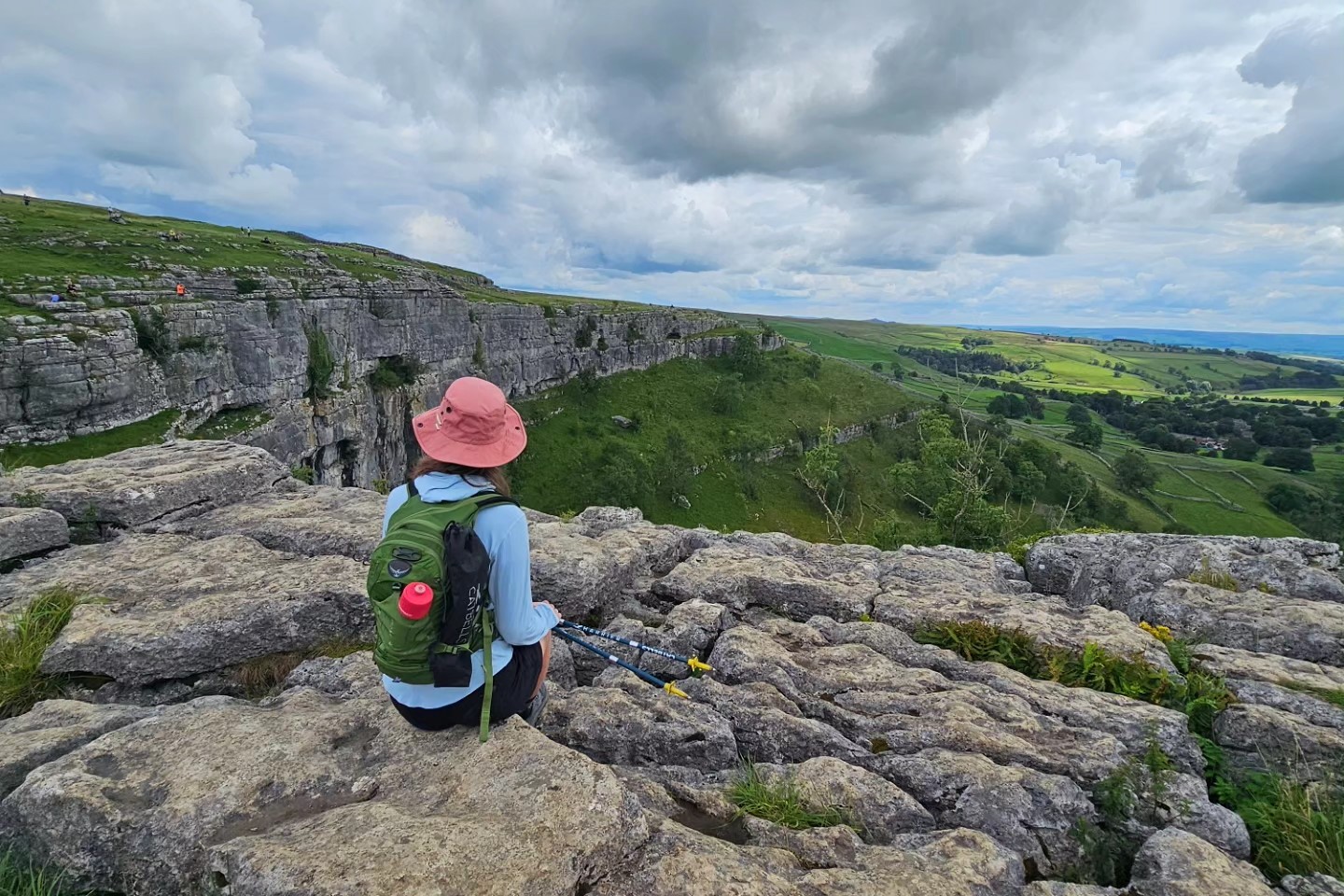
Again, other than Malham Cove itself the route was very quiet, and we only passed one other walker along with several gravel bikers. Bliss!
With tired but satisfied legs we enjoyed an evening pub meal and glass of wine before retiring to our comfortable beds for the night.
Settle to Ribblehead
Our third day was our last long day before the walking days began to get shorter with approx 16 miles and 935 metres of height gain. The route takes us from Settle to Ribblehead and started off very gently with a good leg stretch out down the side of the Ribble, passing the gorgeous Stainforth Waterfall. As an avid wild swimmer it would have been rude not to, so I stopped for a swim. (Please note this is not safe to swim in when the river is in spate).
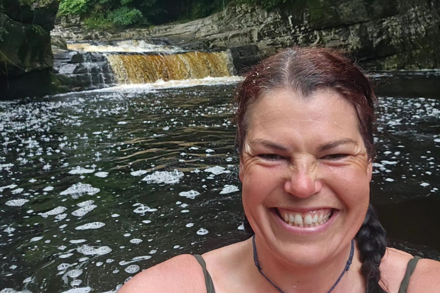
The route then wound its way through sheep fields, old walled lanes and pretty hamlets before nearing Ingleborough.
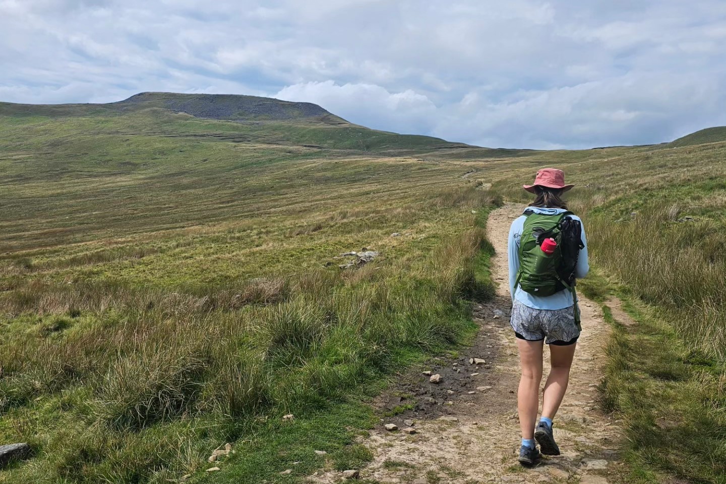
The route up Ingleborough is a gentle ascent pretty much most of the way until the very last rocky section. The path to the summit passes through more limestone pavement which looks fantastically eerie, especially when looking back down across it.
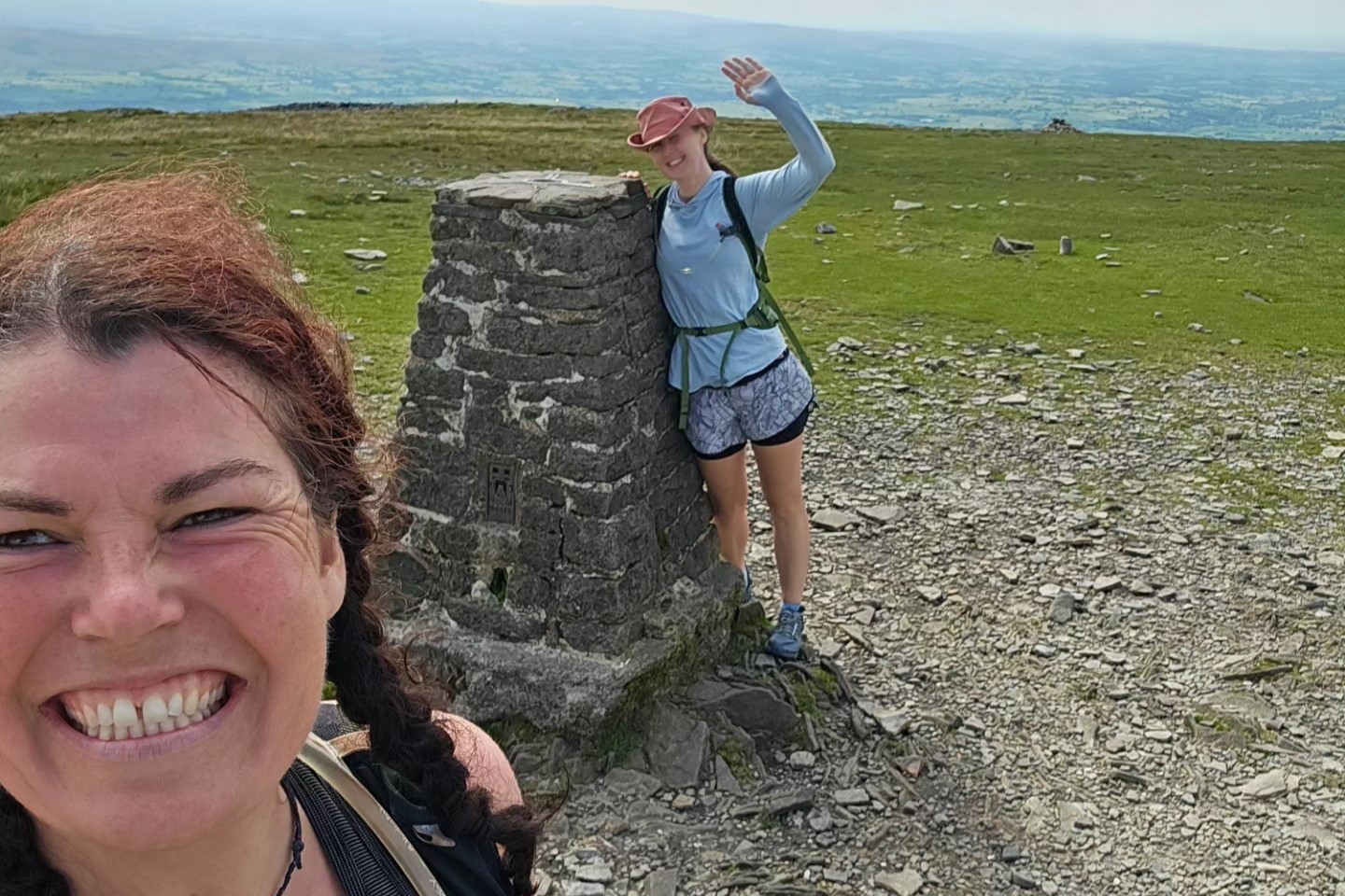
Ingleborough itself is lovely, but as the top is a very large flat plateau the views are cut off. The ridge down to Ribblehead is where you make up for this with stunning views over the surrounding hillside including Whernside, a possible route for tomorrow.
Ribblehead to Sedbergh
Day four is from Ribblehead to Sedbergh and will be a welcome easy day of walking after the first 3 longer days with only 13 miles and 494 metres of height gain. It even has more descent than ascent! If you’re wanting to make today more challenging you can add Whernide to the route. Though this will make having a rest day to tick off the third of the Yorkshire 3 Peaks, Pen Y Ghent, very tempting for you.
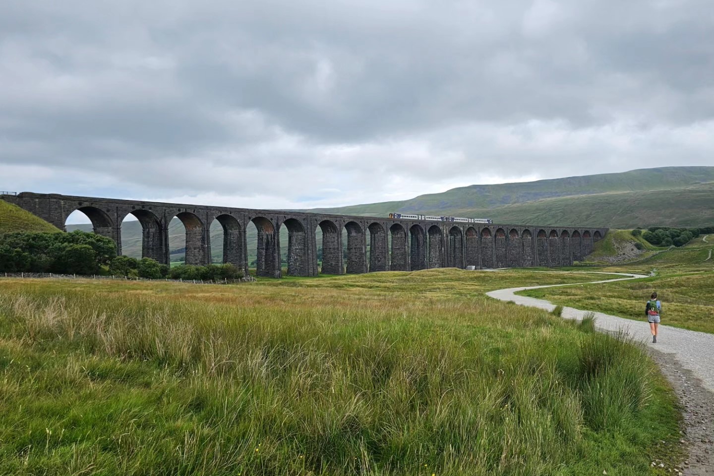
As the cloud level was extremely low that day we opted for the standard lower route and left Ribblehead walking alongside the very impressive and imposing Viaduct and followed an easy track past Force Gill Waterfall before heading uphill onto moorland towards Dent. We had excellent views over Dentdale and across to Arten Gill Viaduct.
We then followed a slightly rockier track downhill before walking alongside the River Dee, enjoying the calming sound of water. Continuing out of Dent we followed a lane fairly steeply uphill before we continued over the rounded easy hill side of Long Moor and down to Sedbergh.
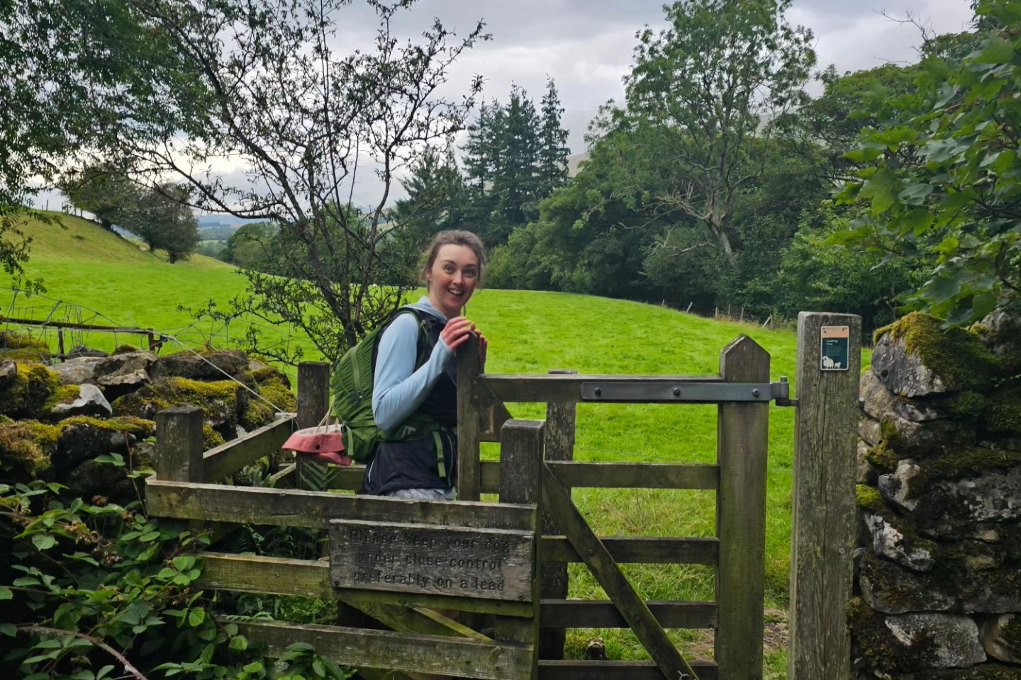
After the longer harder first three days we arrived with plenty of time to kick back and relax over a cheeky pint.
Sedbergh to Ravenstonedale
Our fifth day was another cracking day from Sedbergh to Ravenstonedale. It was another shorter day with just under 13 miles but with more height gain again with approx 810 metres.
There was also a wealth of route options for today. Over the Howgills including ‘The Calf’, or if bad weather, a low level option following the Pennine Way along the River Rawthey. It also had options to do a hybrid of some higher terrain in the Howgills and some lower level such as dropping down past Cautley Spout waterfall or towards Bowerdale Beck.
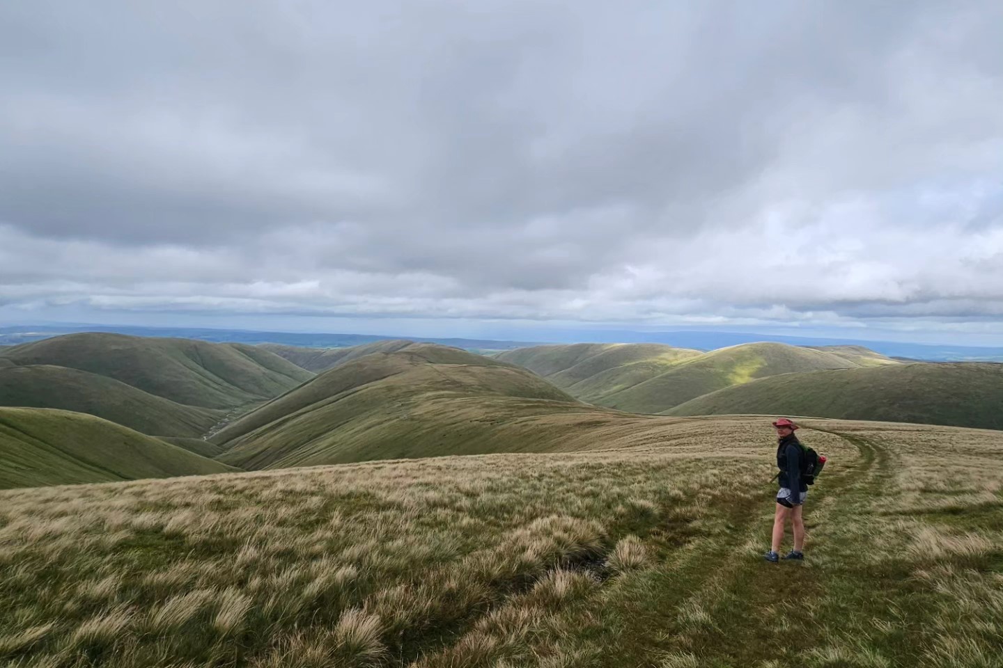
After having settled weather all week we knew it had changed and was going to be lively. Storm Betty was here to say hello with predicted 40mph to 50mph gusts. As the Howgills are more rounded and we’re both used to being weathered we were keen to try heading the high route and kept the alternative options in our pocket.
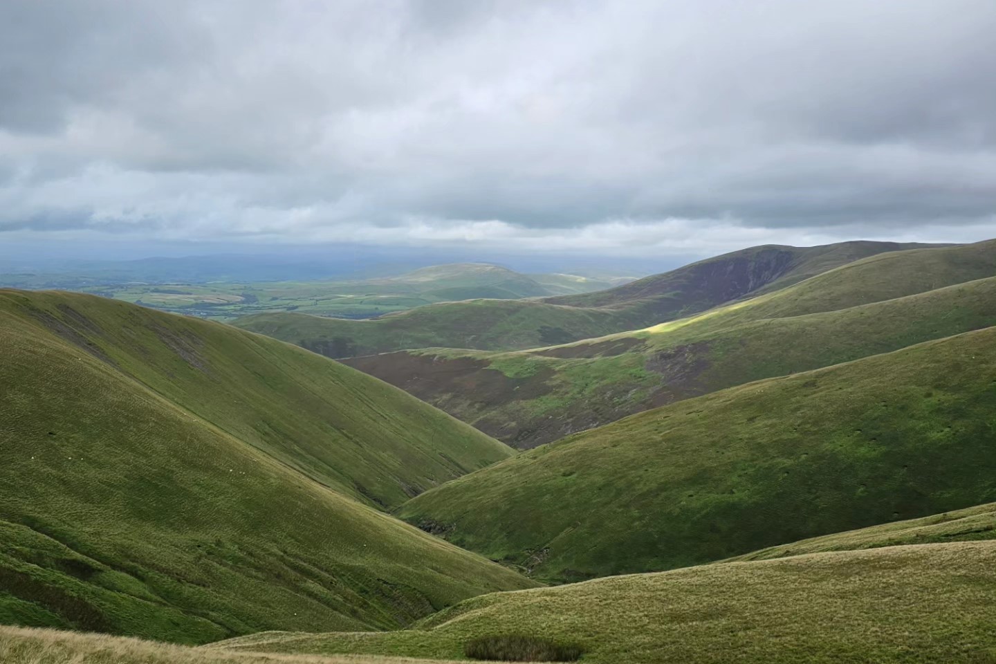
Although windy we were lucky with fantastic views and dry weather on route to our highest point for the day. The rolling Howgills really are magnificent. We were also lucky that mainly the gusts were nearer the 40mph mark for most of our time up high. So we decided to stay up high undulating along the wonderful ridgeline.
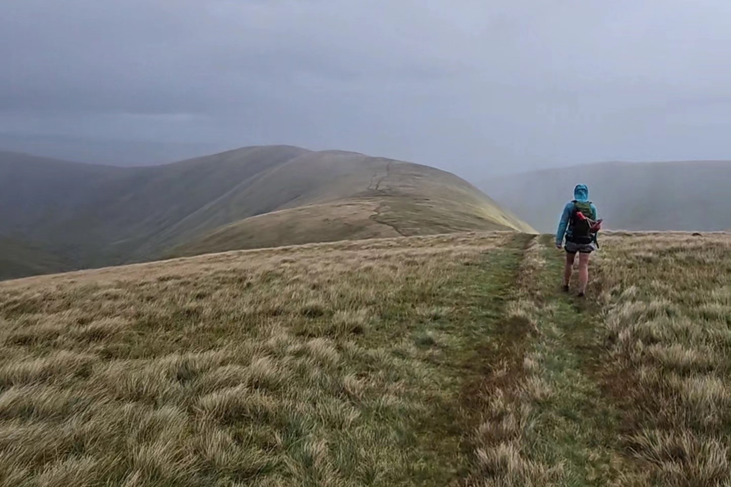
The rain finally caught up on us and came down the different ridges in waves. Hitting you and then being blown down the valley before the next. It was rather beautiful and we even saw some faint rainbows in amongst the sweeping heavy showers.
Reaching the bottom of the Howgills we then made our way through a mix of country lanes and big wide fields. Finally passing through a cow field with the most hench bull I’d ever seen and some very cute calves.
Raventonedale to Appleby
Our sixth and sadly final day was from Raventonedale to Appleby and was a nice relaxed finish to the walk with approx 15 miles and 345 metres of height gain.
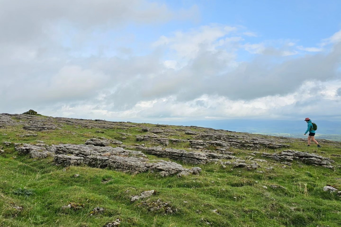
We headed out back across the fields to Newbiggin on Lune before heading out over Ravenstonedale Moor. Patches of scattered purple heather in between an array of cows and horses made walking slow as we cooed over all the animals. As we got to the high point of the day we hit another section of limestone pavement and were treated with panoramic views over the Lakeland, Howgill and Pennine fells.
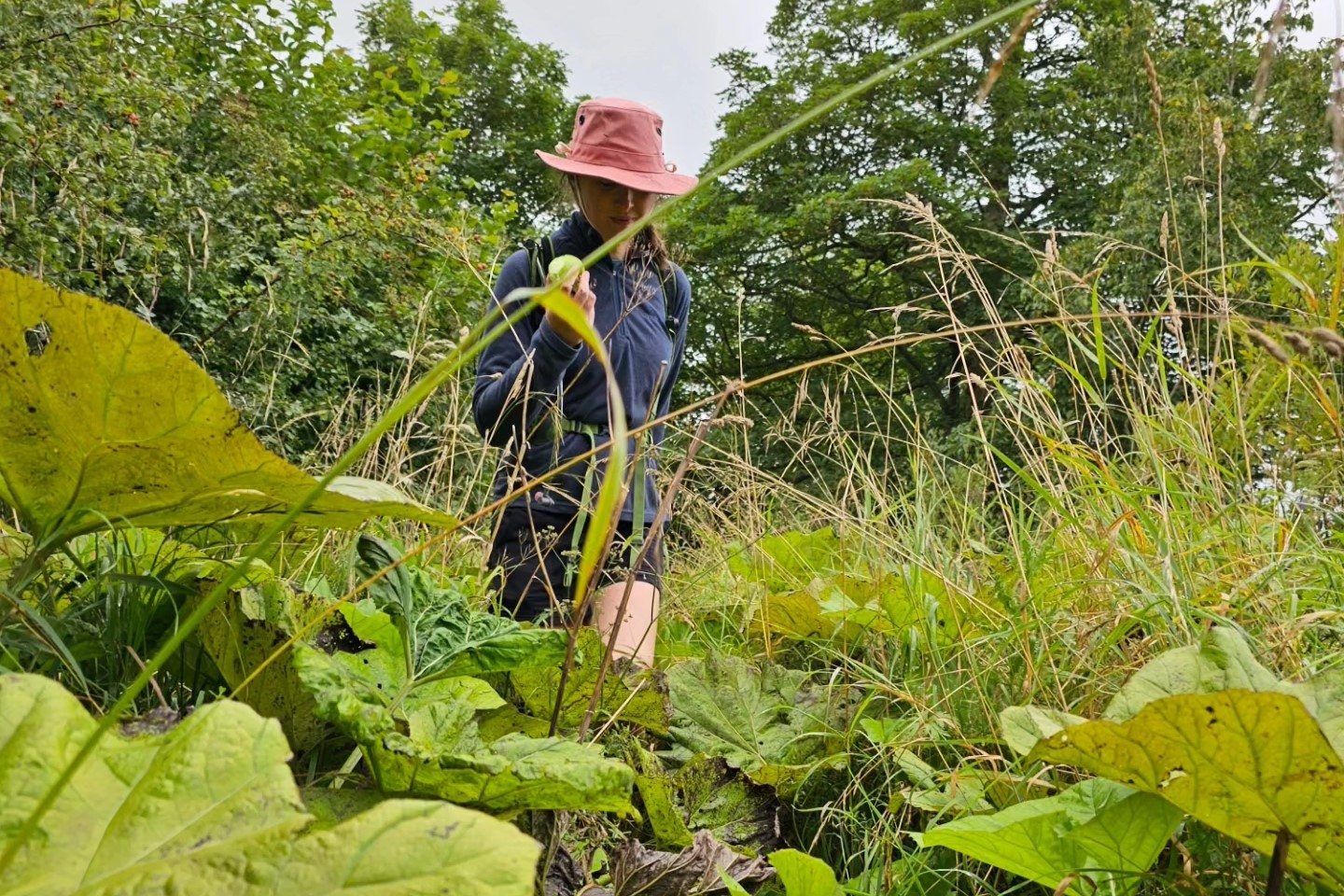
Dropping down we continued our walk feeling fully immersed in the country with more fields, and sections of riverside walking and yet more cows and horses. Some extremely friendly young cows greeted us at a stile and were all bustling to say hello. They however very obligingly gave us room once over the stile to continue our walk.
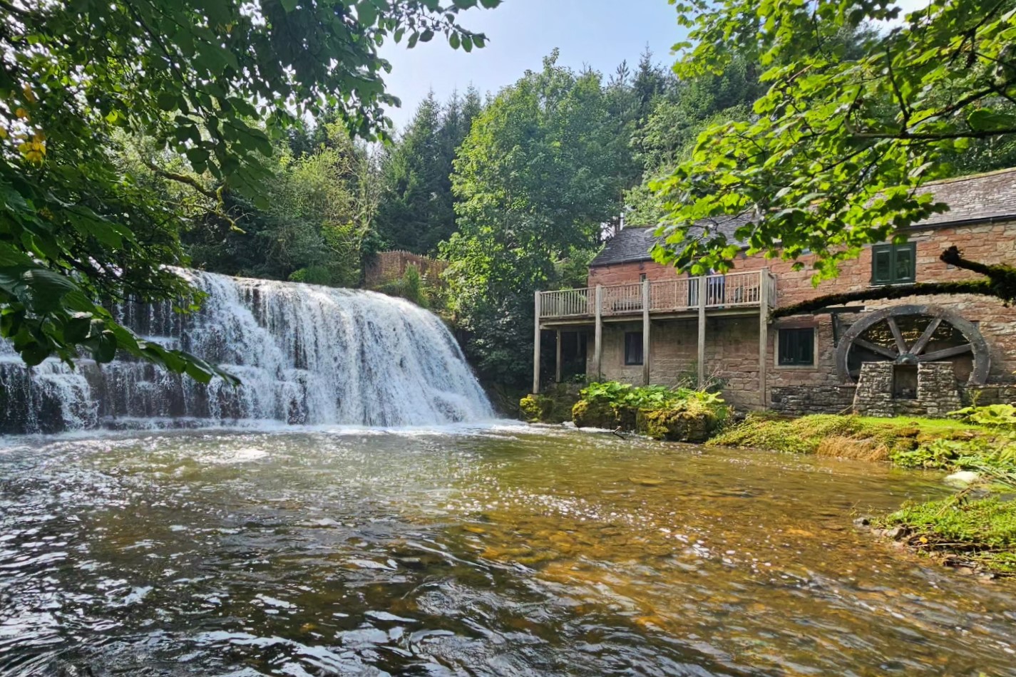
Finally reaching Appleby we feel super satisfied with our week of hiking and everything we’ve seen and experienced. This route really has been a stand out. Every day having a different feel to it. A mix of harder and easier days. Already looking forward to the next one!!!
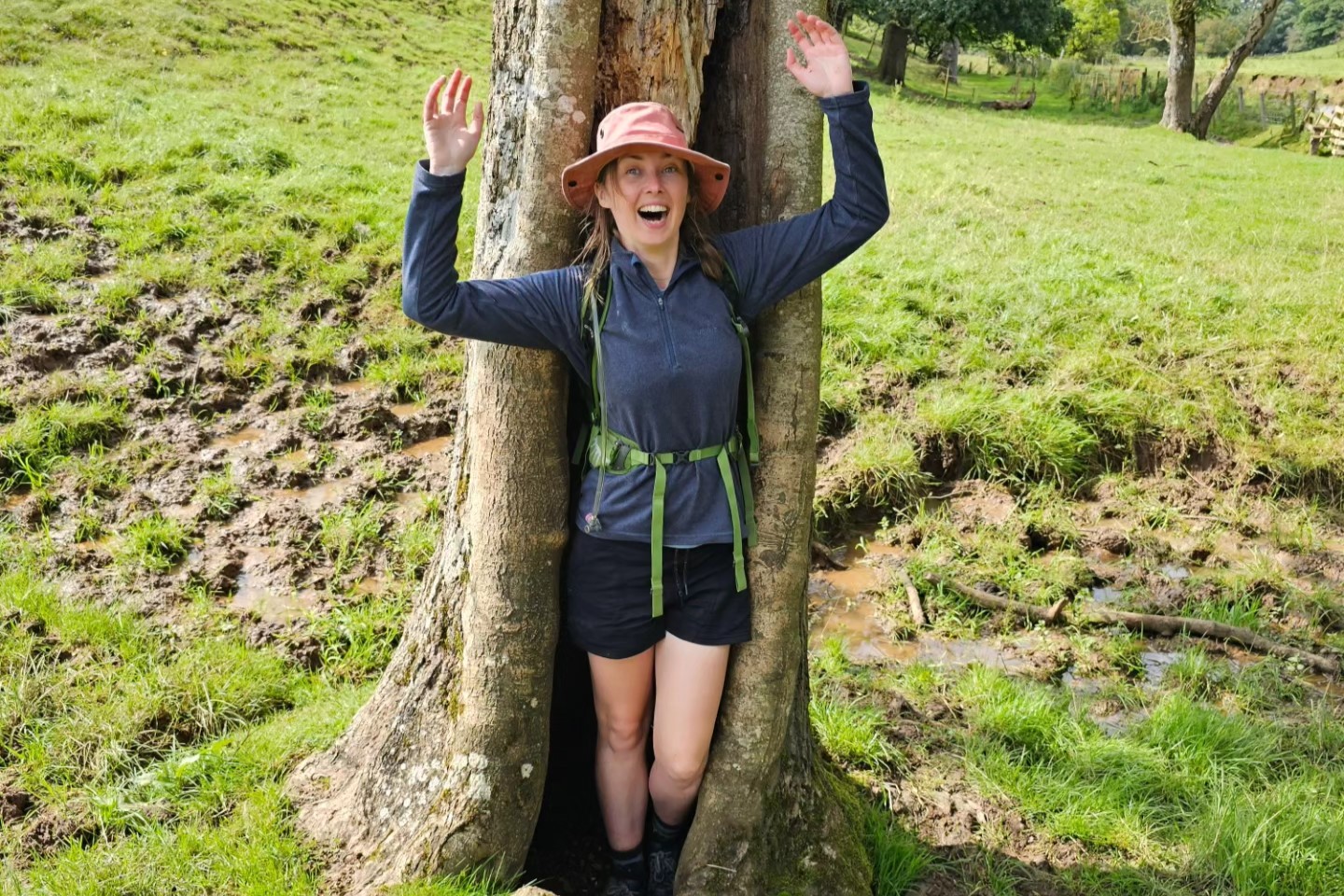
If Shelley and Hana have inspired you to walk on the Dales High Way then please do get in touch, Shelley and our friendly Sales Team will be delighted to help … email us [email protected] or call 017687 72335.