Tara’s Coast to Coast – Dales and Moors
By Tara Walker-Rose
Part one of my Coast to Coast story covered the Lakes and Mountains stage from St Bees to Kirby Stephen. Here in part two I’ll be sharing my story of the Dales and Moors as I walk on to Robin Hood’s Bay.
Day 7: Kirkby Stephen to Keld
We started today by ditching a load of our stuff back at our car which we parked in Kirkby Stephen at the start. As the weather has been so good we have hardly worn anything, so all excess gear is now offloaded. I still have full waterproofs and colder weather clothes though, so far it’s worked like a charm for guaranteeing sunshine!
Today was Nine Standards Rigg day. I’ve wanted to get up here for ages. The Nine Standards are huge cairns situated at a height of 662 metres that have dominated the skyline for over 500 years. No one really knows their true origins but one theory is that they were constructed by the Romans to look like troops on the horizon. After a period of neglect they have been restored in recent years and they didn’t disappoint. It was so windy up here though it was hard to keep upright so we didn’t linger too long. I bumped into our clients Jane and Adrian again here as well who were enjoying their day.

The terrain surrounding Nine Standards is notoriously difficult due to the peat bogs that have to be negotiated. It’s not so bad on the way up but afterwards you have to choose one of three routes down depending on the weather and time of year. This is because of the threat of erosion from the thousands of boots passing through. We chose the blue route which is the one recommended for this time of year providing the visibility is ok. As it was so sunny we had great views today and the route markers were easily visible.
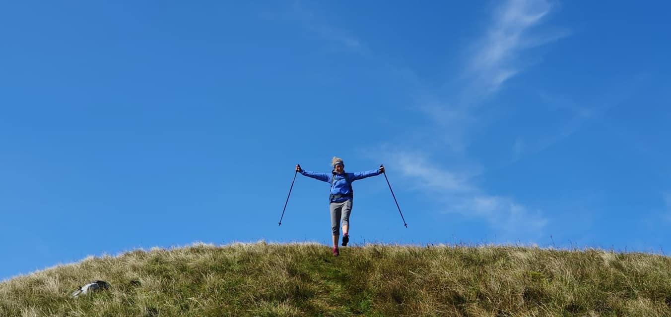
Thanks to the last 7 days of sunshine much of the quagmire had dried up but I did manage to end up with one foot stuck in it over the top of my boot! Scott pulled me out but then in good husband fashion he took a photo for you.
After the Nine Standards we headed on to Keld, passing by Ravenseat Farm, home of Amanda Owen, the Yorkshire Shepherdess, who has written books and appeared on TV with tales about her life in the Dales.
After 13 miles we arrived at our Keld accommodation where we have just had a lovely meal. Now they keep giving me wine. It’s such a hardship.
Tomorrow is another fairly short walk, about 12 miles again, from Keld to Reeth. We’ve walked this leg before as it is also part of the Herriot Way.
Day 8: Keld to Reeth
A misty day today for our walk to Reeth and the second half of our walk as we leave the halfway point of Keld. We are now right in the Yorkshire Dales and I can’t believe we are half way through our adventure!
There is a route choice again today, both options are about 11.5 miles but very different in terms of effort and scenery. The low level option is a riverside walk, good in poor weather. The high level is over the moorland through a landscape scarred by its lead mining past. We chose the high level route as we have been here before and love the unusual surroundings. Although it was misty there was reasonable visibility and we knew the way.
We headed out of Keld on a track above the river Swale. Soon we reached Crackpot Hall, a former farmhouse which is a ruin now, due to subsidence caused by mining, and one of the first pieces of evidence of the history here.
A narrow path continues down Swinners Gill with a view down the valley towards Muker then joins a track up on to Gunnerside Moor. After a short distance on the track we turned off it towards Gunnerside Gill and the picturesque remains of the Blakethwaite Lead Mine.

From here the track climbs again on to the moor and into the desolate landscape, often described as a moonscape, left behind from the lead mining activities. Topsoil was stripped away by the water artificially channeled through gullies known as “hushes” to expose the minerals.
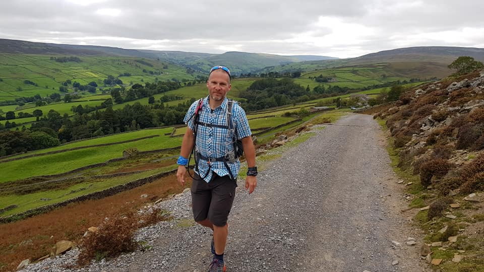
This landscape continues on, devoid of greenery, to more extensive ruins and then Surrender Bridge. From here life returns to the surroundings and we cross more moorland then fields to join a pretty little narrow track between field walls all the way to Reeth.
Tomorrow it’s another fairly short walk, about 11 miles again, to Richmond.
Day 9: Reeth to Richmond
Another beautiful, sunny, blue sky day for our 11 mile walk to Richmond. The scenery is not quite as dramatic now, having left the Pennines behind, but it’s still really pretty.
The day began through fields leading to the riverside, then walled pastures to Marrick Priory, dating from the 12th Century. The ruins are part of an Education Centre and you can’t just walk in there but you can go into the grounds. From here the route takes you up an uphill path called the Nuns Steps. It is named after the 375 steps constructed by the nuns through Steps Wood to take them to the abbey.
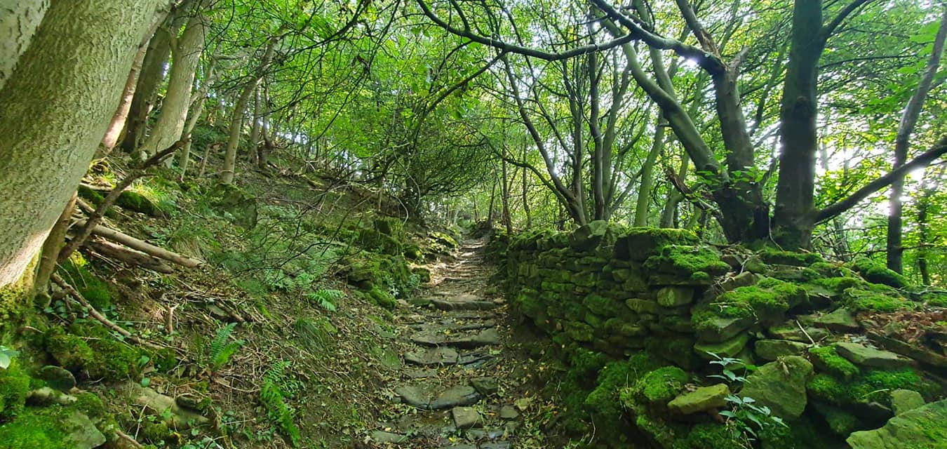
At the top of the steps we reached the village of Marrick and from here, once again, the route is through farmland and over many stiles.
Eventually we reached the road in to Marske and followed this for half a mile before rejoining grassy pasture for the walk to Applegarth Scar, a limestone cliff and a good lunch stop. More farm tracks and fields led us from here to Whitcliffe Wood for a shady walk towards Richmond and it was at this point in today’s walk that we left the Yorkshire Dales National Park behind.
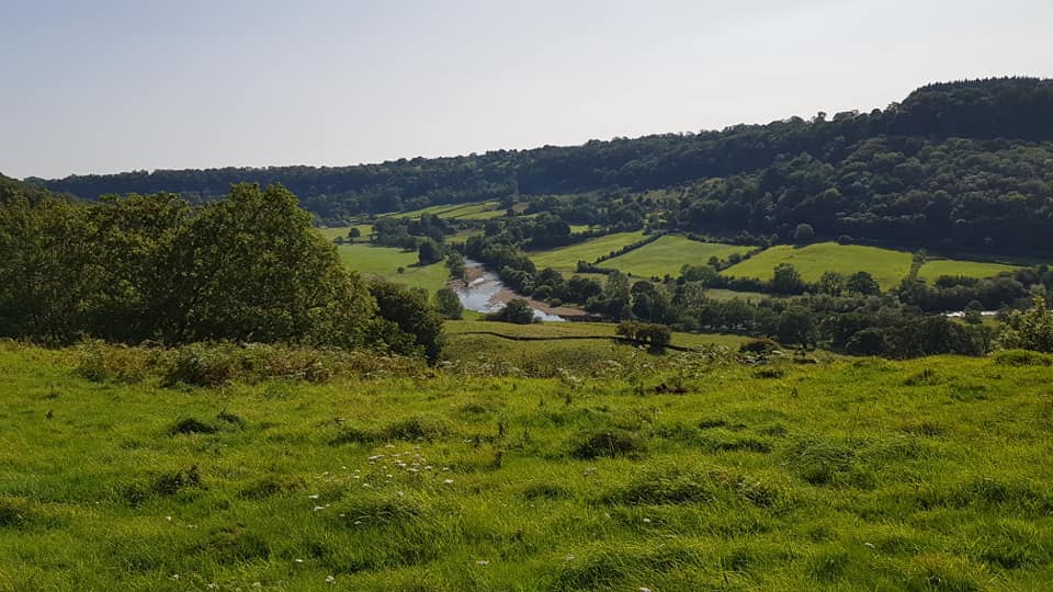
After a short walk in to Richmond we took the opportunity to walk round the castle walls when we arrived as there was plenty of time to look around.
I was glad of the short day today as we have a long one tomorrow. The next section is over the Vale of Mowbray and it’s known as “the flat bit”. We decided we would complete this section in one day, which is 23 miles, rather than split it.
Day 10: Richmond to Ingleby Cross
This section of the route is described in many ways, some a little unfairly, for example “the flat bit”, “the boring bit” even Wainwright himself said it was the low point on his project not just in elevation. With all this in mind we chose to cross this section in one long day. It wasn’t difficult as it was so flat but at just under 24 miles it’s the longest day of our itinerary. For those interested in data it’s also 2500 calories and 52000 steps. It’s ok I have replaced the calories already!

After leaving Richmond we passed through Colburn then past Brompton on Swale, before crossing under the A1 at Catterick Bridge to follow the river for a while which was lovely in the sun this morning. After Bolton on Swale there are two versions of the route depending which guide you are reading. We went via Kiplin Hall for tea and cake. Their tearoom is closed but they have a mobile one with a shelter, but on a great day like today you can sit in the garden overlooking their lake. The Hall is Jacobean and one of the finest of that period in Britain.
We reached Danby Wiske at lunchtime, this is where many people choose to split this day, but we carried on from here for another 9 miles over similar terrain to Ingleby Cross.
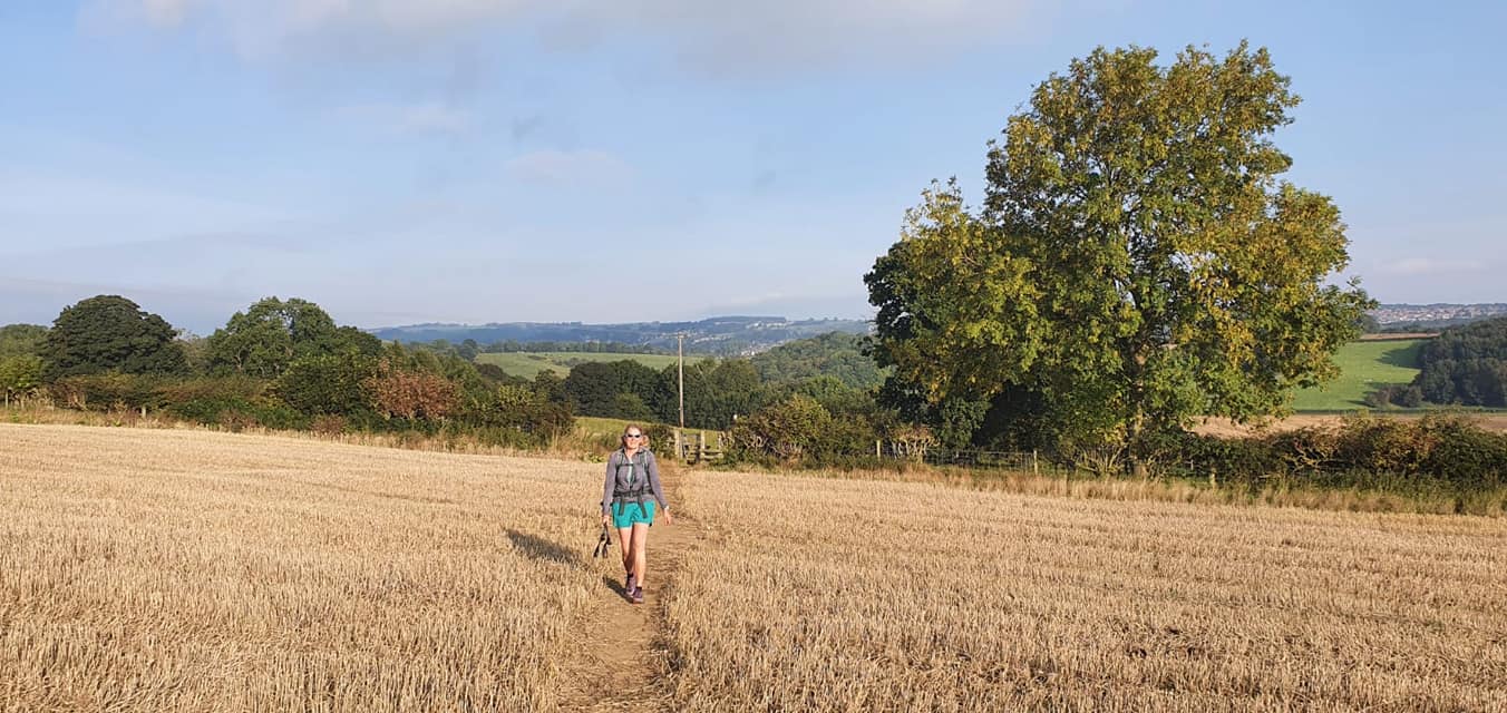
Much of today was spent crossing farmland, some of it pasture and then later a lot of larger arable fields. There was a lot of ploughing going on today in the area. The weather is about to change so they were probably making the most of the last couple of dry days. It became cloudy this afternoon and I think I’ll be able to get my new waterproof jacket out tomorrow as we head to the Cleveland Hills.
Day 11: Ingleby Cross to Clay Bank Top
Well today was the day we had to start paying for 10 days of wall to wall sunshine! On the plus side our waterproofs, that have been passengers in our rucksacks for 10 days, finally came out to earn their keep. The footwear decision today was split, I opted to go back to boots after 3 days of comfortable, well cushioned trail running shoes. Scott opted to keep the trail shoes but wear waterproof socks. There was no clear winner, I guess its just personal preference.

Today began with a climb through Arncliffe Wood then we met the Cleveland Way which shares the route today.
After more woodland trail we arrived at the summit of Beacon Hill. The guidebooks say there is an amazing view from here but we had to take their word for it! After the top of Beacon Hill is Scarth Wood Moor then Scarth Nick followed by more forest trail. The day continues in similar fashion alternating between forest and moorland. Most of the moorland has a paved trail so it’s not muddy but care has to be taken as the trail is uneven and there are many climbs and descents.
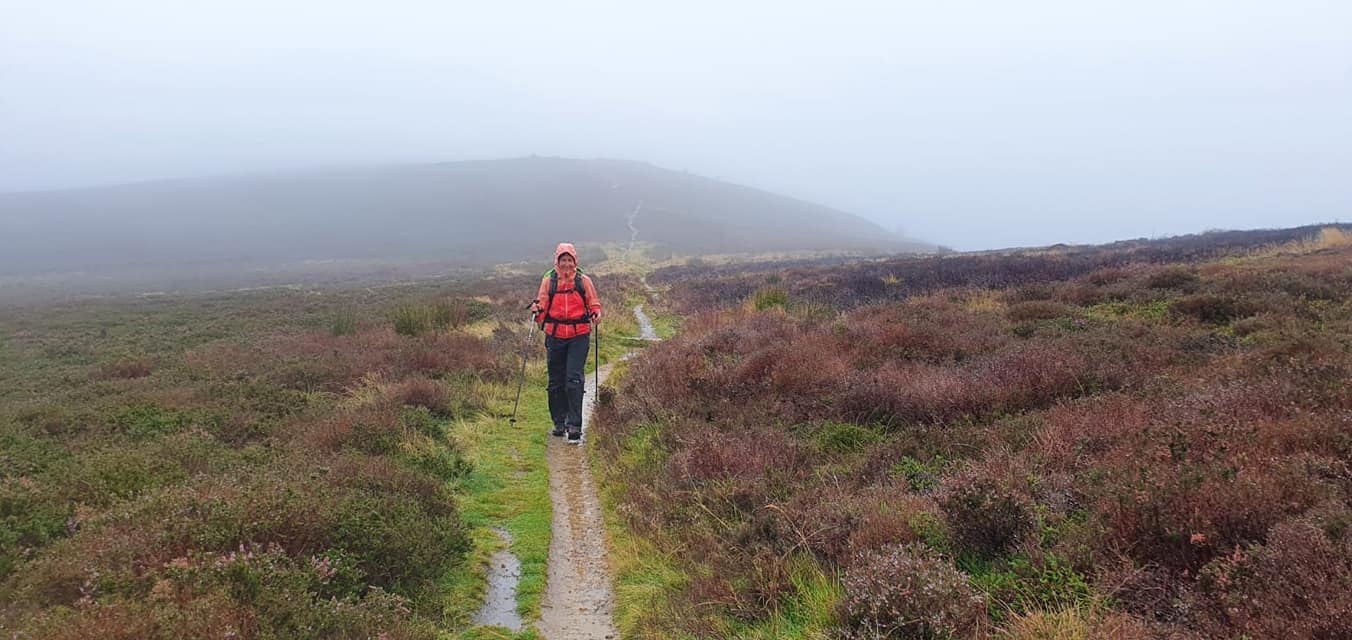
We reached Lord Stones, which has a welcome cafe, and at this point we switched some clothing as we were getting wet through our waterproofs and it was windy and cold. Warmed with new clothing and tea we continued to Cringle Moor and on to Clay Bank Top. We had a pre booked taxi from here to take us to Great Ayton as this was the closest accommodation. This all worked brilliantly and we were dropped off by a knowledgeable local who will pick us up in the morning to return us to the trail for our walk to Blakey Ridge.
Day 12: Clay Bank Top to Blakey
It wasn’t quite as wet today but still showery and definitely autumnal for our relatively short walk of 9 miles over the moors to Blakey.
Before we started walking we took a moment to look at the views we missed from the end of yesterday’s walk, towards Captain Cook’s Monument and Roseberry Topping on the Cleveland Way.
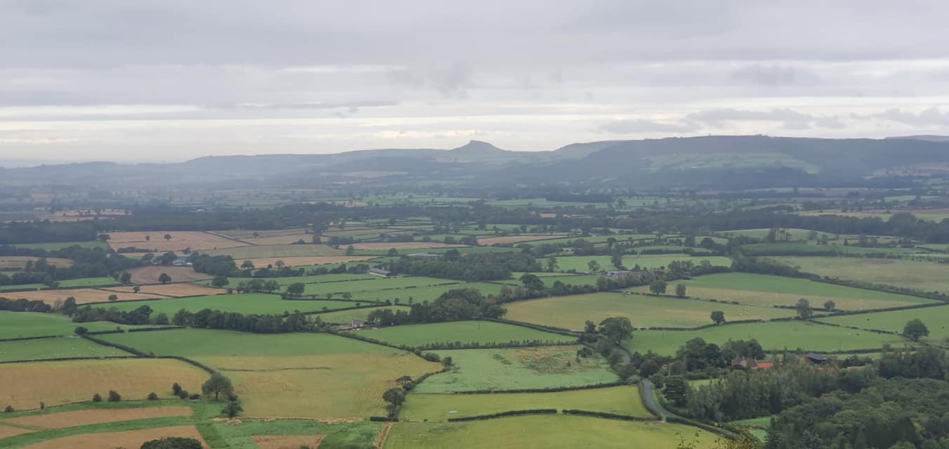
The day started sharing the trail with the Cleveland Way again with a climb up to Urra Moor. Once up on the moor the track is wide and more level and soon the Cleveland Way turned north while we continued on the former Rosedale Ironstone Railway.
The trail continued in a similar way, on a fairly level trail around High Blakey Moor. The view down the valley was to Farndale. We continued on climbing a little to reach Blakey Ridge and the famous Lion Inn, our home for the night.
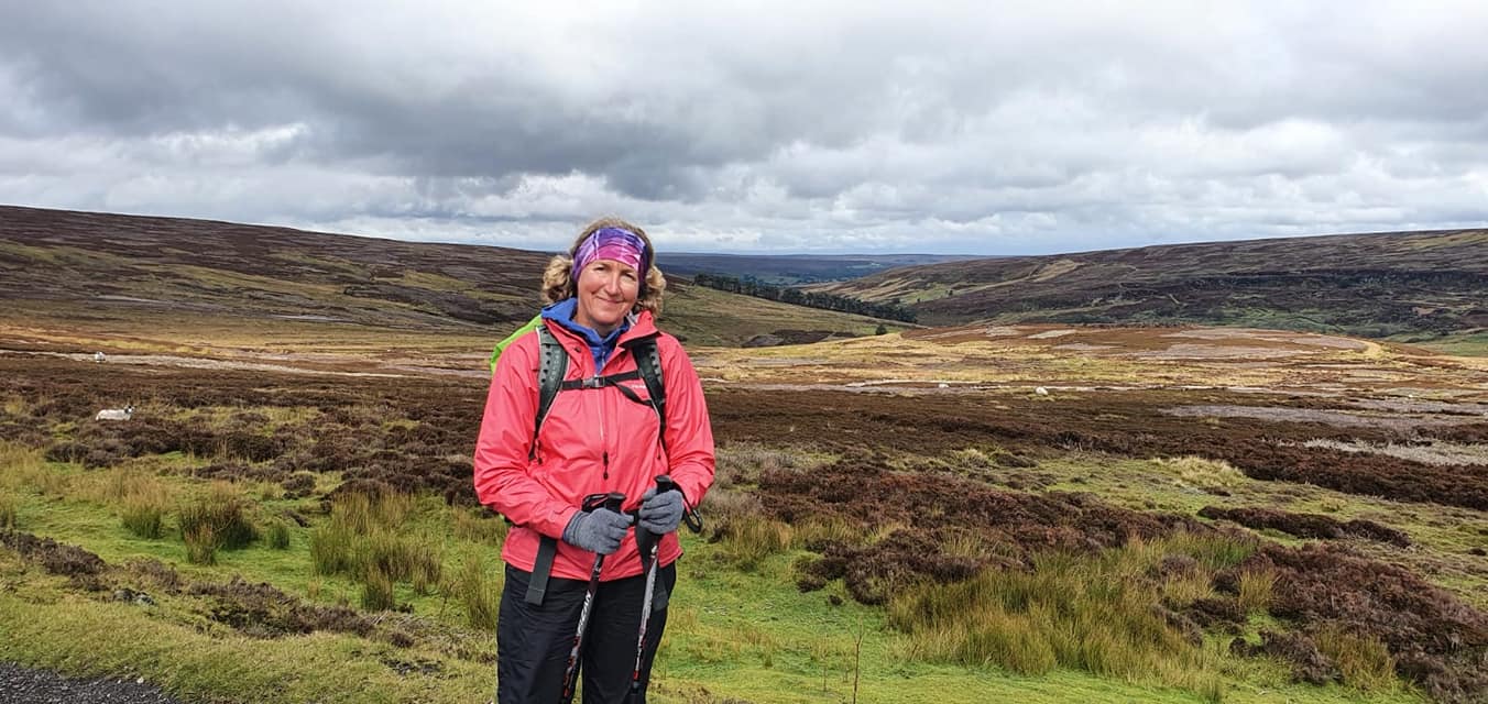
There are only about 30 miles left now and this is fairly evenly split over the final 2 days of walking. Tomorrow we walk to Grosmont which is about 14 miles and mainly downhill.
Day 13: Blakey Ridge to Grosmont
It was a wild day today, really windy with horizontal rain making it an arduous first half of the day. However this was surprisingly invigorating and the cloud was high so the great views were still there, just a little misty!
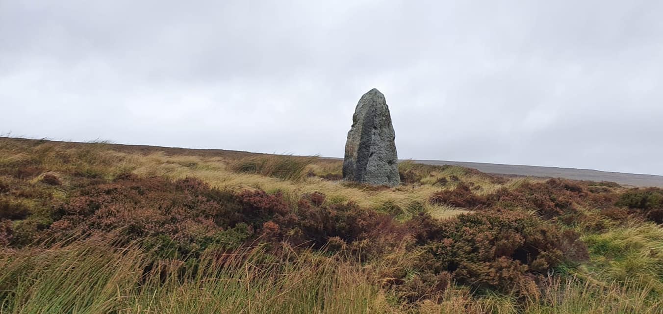
It was 13.5 miles today with the first part of the walk being high over the moors. This was especially windy being so high and it was difficult walking. Eventually the path starts to descend down to the valley and as it lost height the wind eased. The trail leads on to some pretty villages. First was Glaisdale then from here we headed through Arncliffe Woods to Egton Bridge. Finally we took an old toll road to Grosmont.
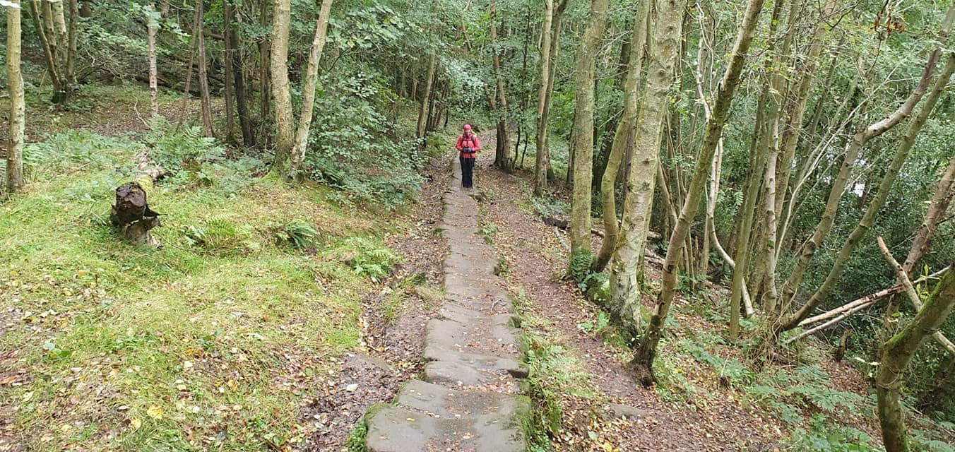
In Grosmont the modern day and heritage railway lines intersect. The Hogwarts Express in the Harry Potter films was one of steam trains of the North York Moors Railway and we were able to see some on the platform today. We also walked through the tunnel to the viewing area of the loco sheds and sidings whilst waiting for our lift to Robin Hoods Bay. We have two nights here as it is difficult to book just one night on a weekend. We will be transferred back in the morning to walk our very last leg from Grosmont to Robin Hoods Bay.
Day 14: Grosmont to Robin Hoods Bay
The last day.
The guidebooks said 15.5 miles but GPS said 16.7 and it certainly felt like it.
You’d think it would be a nice gentle downhill stroll towards the sea wouldn’t you? Well the day began with a steep climb on the road out of Grosmont to Sleights Moor. I must admit I was tempted to get the taxi driver to drop us at the top of the hill instead of down in Grosmont when he took us back to the trail this morning!
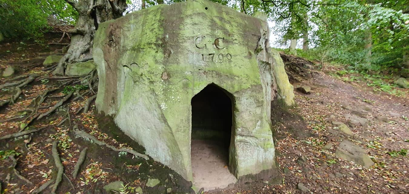
From the top are views to Whitby Abbey and the North Sea. It was misty today but still visible. The walk over Sleights Moor was a boggy track in the drizzle through the heather but soon this came to an end when we descended to Littlebeck, a tiny hamlet, then Little Beck Wood. This is a pretty 65 acres of woodland filled with wildlife. It also has the Hermitage, a boulder hollowed out forming a cave, with the date 1790 above the door, followed by Falling Foss, a 20 metre high waterfall. More importantly there is also Falling Foss Tea Garden. It is rude not to stop there.
After a little more road walking there were two more moors to get across, involving more climbing and more boggy track.
Eventually we met the road to High Hawsker. Its a straightforward walk out towards the coast where we met the Cleveland Way at the North Sea.
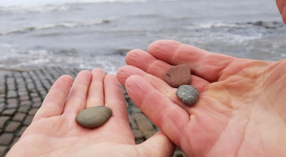
From here its clifftop walking all the way to Robin Hoods Bay. This was a feat in itself today as it was really windy, fortunately blowing onshore but bringing with it lots of sea spray! Tradition dictates that on arrival you throw your St Bees pebble, that you have carried for 192 miles, into the North Sea. Duly completed this signified the end of our adventure. I feel sad that it is over but my feet do need a rest. So 14 days of walking, 192 official miles but 198 actually walked. Three National Parks and a total mixture of scenery. It’s been amazing.
Tomorrow we have most of the day in Robin Hoods Bay so we will explore. I will tell you about that too, as it’s a fascinating place and many clients like to add a rest day here at the end of their trip.
Robin Hoods Bay
At the end of our Coast to Coast trip we had some time today, before our return transfer, to have a look around Robin Hoods Bay. First of all we headed to the official end marker for a photo! It was busy when we arrived yesterday so we waited until today to take this. I probably look slightly less disheveled as a result though.
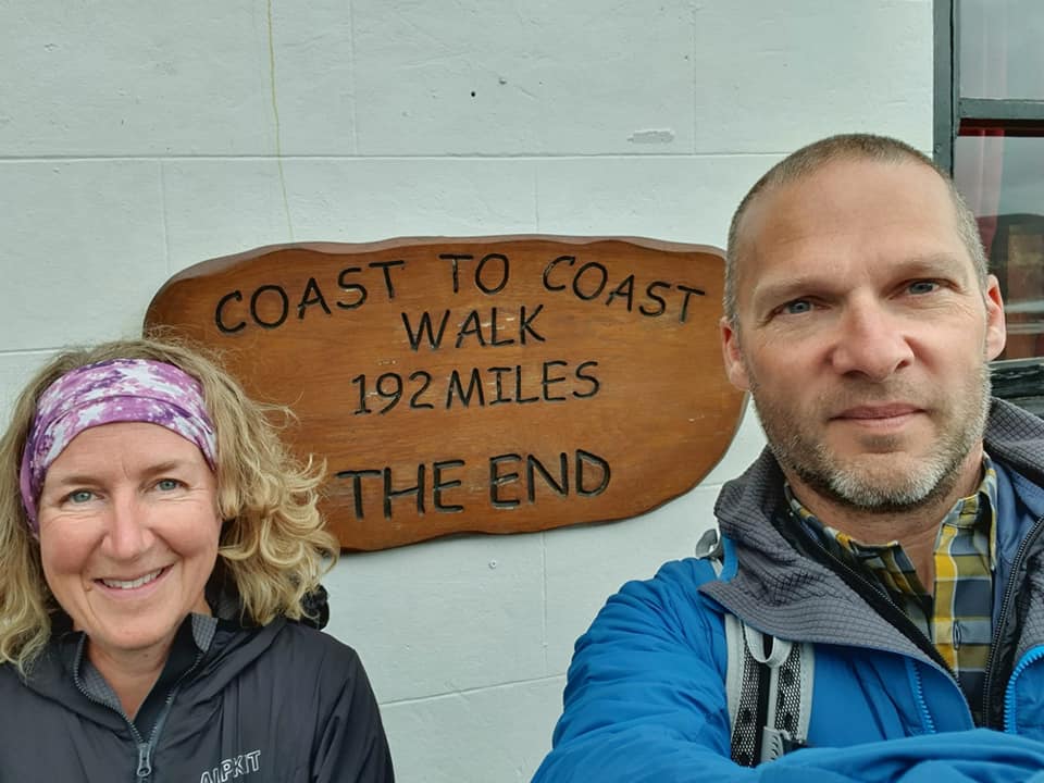
As many people choose to add a rest day at the end if their Coast to Coast trip, or during their Cleveland Way trip, I thought I’d tell you more about it.
It is a fascinating place, a small fishing village with a maze of tiny streets with little red roofed houses clinging to the cliffs. Many of the houses were built between 1650 and 1750.
The traditional occupations of the villagers was fishing and farming, with whole families being involved in the industries. What the village is more famous for, though, is its history of smuggling.
During the late 18th century smuggling was rife on the Yorkshire coast. Contraband such as tea, gin, rum, brandy, tobacco, French lace and silk were smuggled into Yorkshire to avoid the duty. It is said that there is a network of subterranean tunnels linking houses and many of them also have secret cupboards and trapdoors to basements. With up to 40% of the inhabitants being involved in smuggling at its height, it was possible to get goods off boats at the bottom of the village, pass them through the network and up to the top of the village without them being detected. They would then be distributed by gangs via packhorse trails over the moors for sale on the black market. We think of smuggling as a quaint activity now, but then it was quite brutal with many battles between customs officers and gangs. Penalties were severe for those caught and the stakes were high so they often fought to the death. You can actually book a guided tour to discover the smuggling secrets of the village.
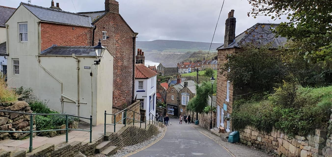
In addition to this fascinating history, Robin Hoods Bay is also one of the best beaches for fossil hunting, particularly for ammonites. When the sea has been rough more are exposed. Unfortunately the tide was in for much of the day so I didn’t have an opportunity to hunt today but if you do spend a day here it’s a great activity when the tide allows. If you want to take it easy on your rest day you can visit the quaint shops, cafes and pubs in the village.
I hope you’ve all enjoyed my Dales and Moors journey from Kirkby Stephen to Robin Hood’s Bay. For more information on the Coast to Coast email us [email protected]. or to speak to one of our walking holiday experts, call 017687 7233