A tale of two halves on the Cleveland Way
By Sarah Hodgson
After walking the Northumberland Coast Path last Summer, and thoroughly enjoying it, we had high expectations for our chosen 2024 walk, the Cleveland Way.
With over 40 routes to choose from we really were spoilt for choice – everything from Lake District hills, rolling Yorkshire countryside, Scottish Glens and sunny coastal paths. After doing a full coast path last year, we wanted something slightly different this year but also with some coastal walking as we love to be beside the sea.
After much deliberation we decided to go for the Cleveland Way Combined Highlights covering the northern end of the moors from Osmotherley and down the North Yorkshire Heritage Coast to Robin Hoods Bay. A great mix of half moorland and half coast. With an added night and rest day in Whitby we’d be walking for 6 days in total.
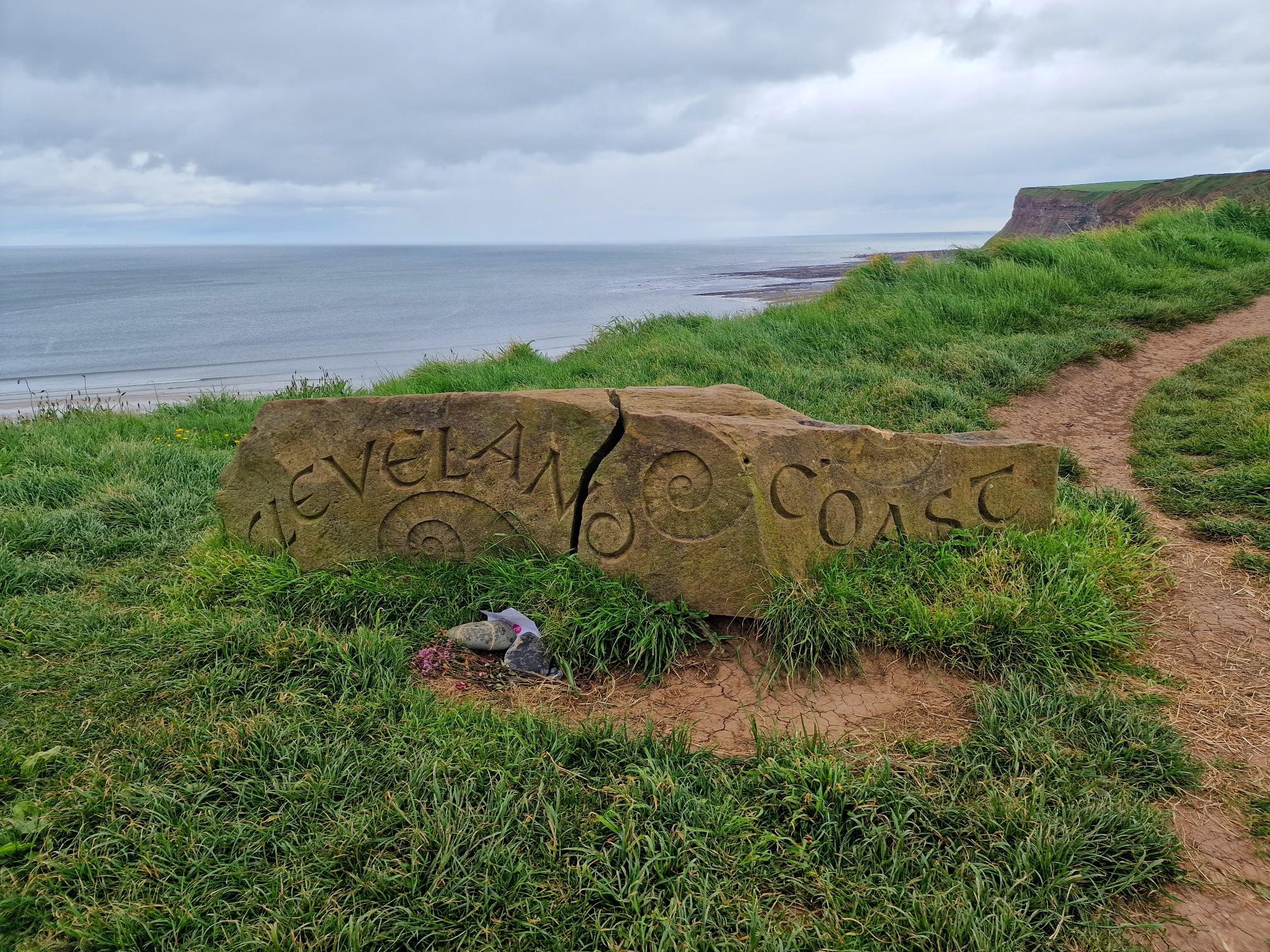
Opened in 1969, the Cleveland Way was the UK’s second National Trail, coming four years after the Pennine Way. In total it covers 109 miles from Helmsley, nestled in the heart of the Yorkshire Dales, to Filey, right on the coast in the south of the county. Not wanting to miss the first section between Helmsley and Osmotherley we completed these 21 miles independently earlier in May – braving the UK weather and camping rather than having the luxury of a nice warm B&B or Guesthouse as we would on our Mickledore walking holiday.
The walk between Helmsley and Osmotherley gave us a great taste of what was to come – rolling moorlands and classic Yorkshire Views, with lots of history and ancient landmarks scattered along the way.
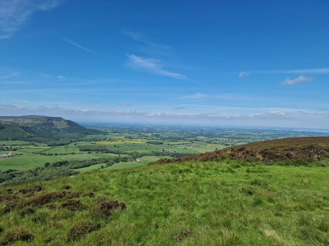
Time for the main Mickledore walk. Having arrived in Osmotherly, a lovely little Yorkshire village with three pubs, a café and small village shop all surrounding the market cross, we settled down with a pint of beer and glass of wine to re-study the guidebook and plan our first walking day. What we did notice on our previous days earlier in May, is that the route is very well signposted and easy to follow – this continued throughout the trip and the only time we needed to refer to the guidebook was each evening when we read the next section to ensure we had our day mapped out and see what historical landmarks we had to discover the next day.
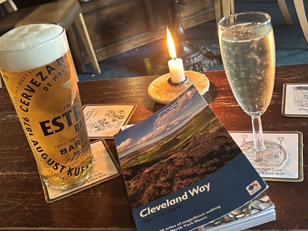
Day one took us from Osmotherley to Claybank Top, a mixed day of rolling heather coated moorlands. We were slightly too early in the season, so the heather wasn’t in full bloom just yet, but later in the summer this will be a spectacular sight to see. Five stiff climbs and four steep descents get your leg muscles working on this day and are a great test of stamina – however the views across the Yorkshire Moors were a great reward after the climbs. The long stretches of large flat flagstones which pave the way make for easy walking on the flatter sections – which is certainly a treat.
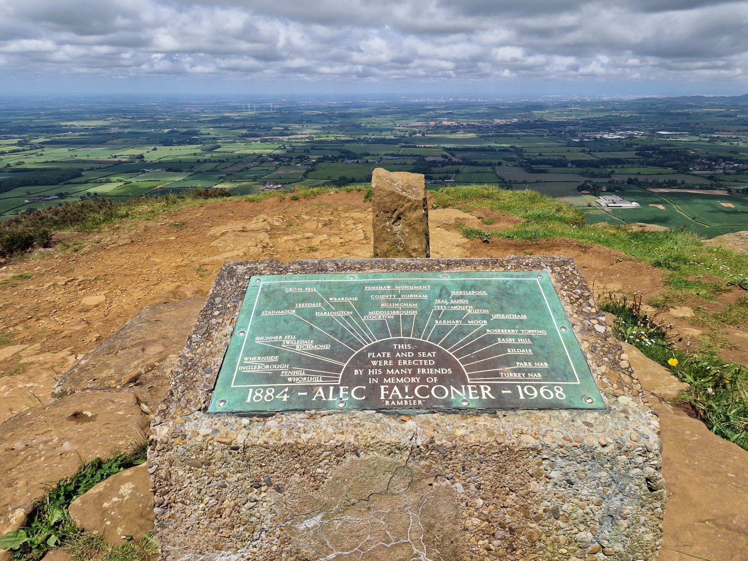
Lord Stone Café is perfectly located for a pit stop of tea and scones, before heading off again to complete the last section of the day. Once you’ve headed up onto Cringle Moor there is stone seat and boundary stone dedicated to Alec Falconer who was a dedicated member of Middlesborough Rambling Club, who first suggested a hill walk connecting the moors and coast. Unfortunately Alec died in 1968, a year before the Cleveland Way was officially opened – his son Alan wrote the first official guidebook for the route. It’s a perfect spot to sit and take in the panoramic views towards Ingleborough, one of the famous Yorkshire Three Peaks, the industrial town of Middlesborough and Roseberry topping, where we’ll be heading later in the week.
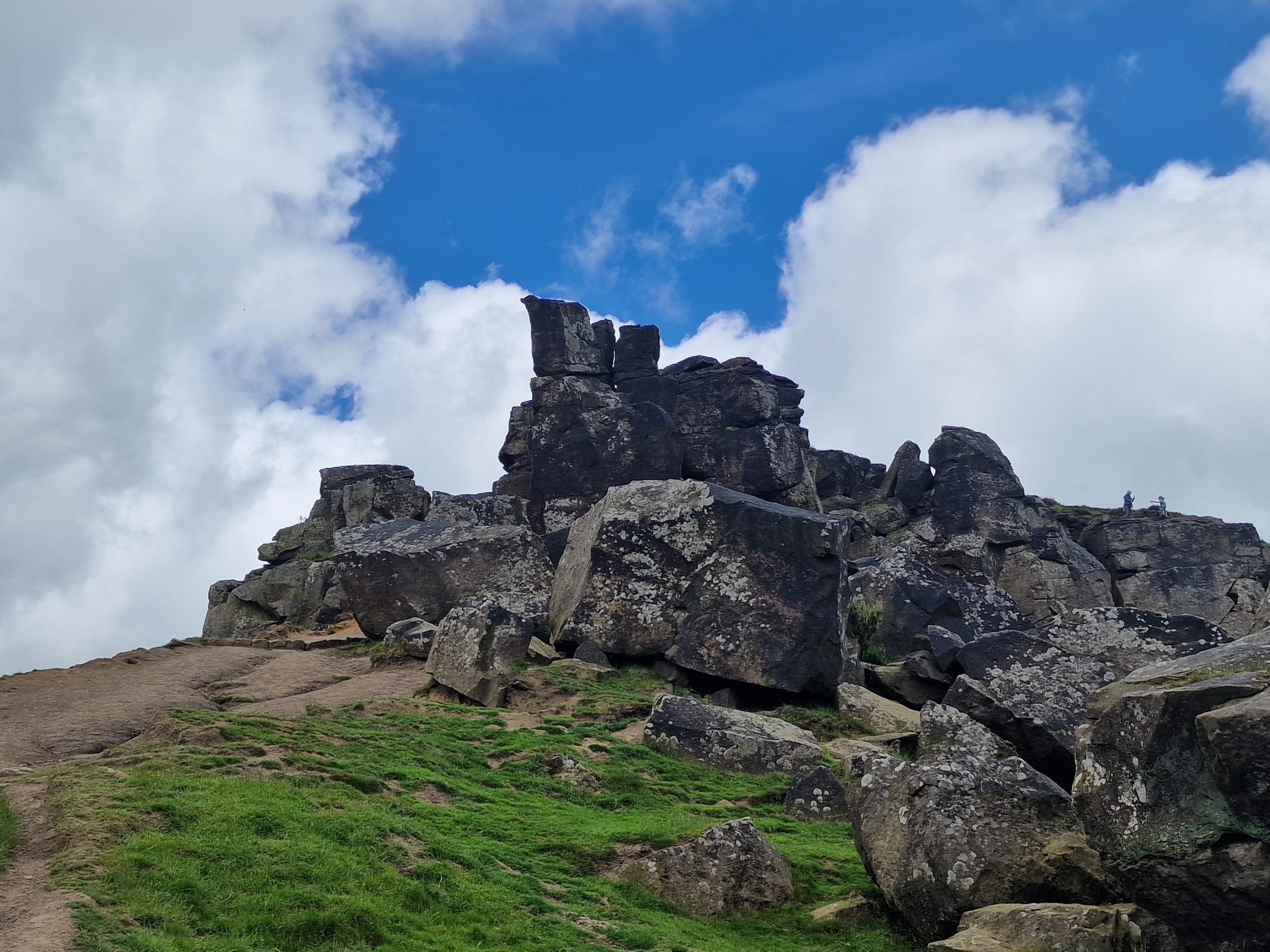
After a rest here we were ready to tackle the next uphill climb to the Wainstones – a distinctive rock outcrop made up of pillars and buttresses, shaped by centuries of wind, ice and rain.
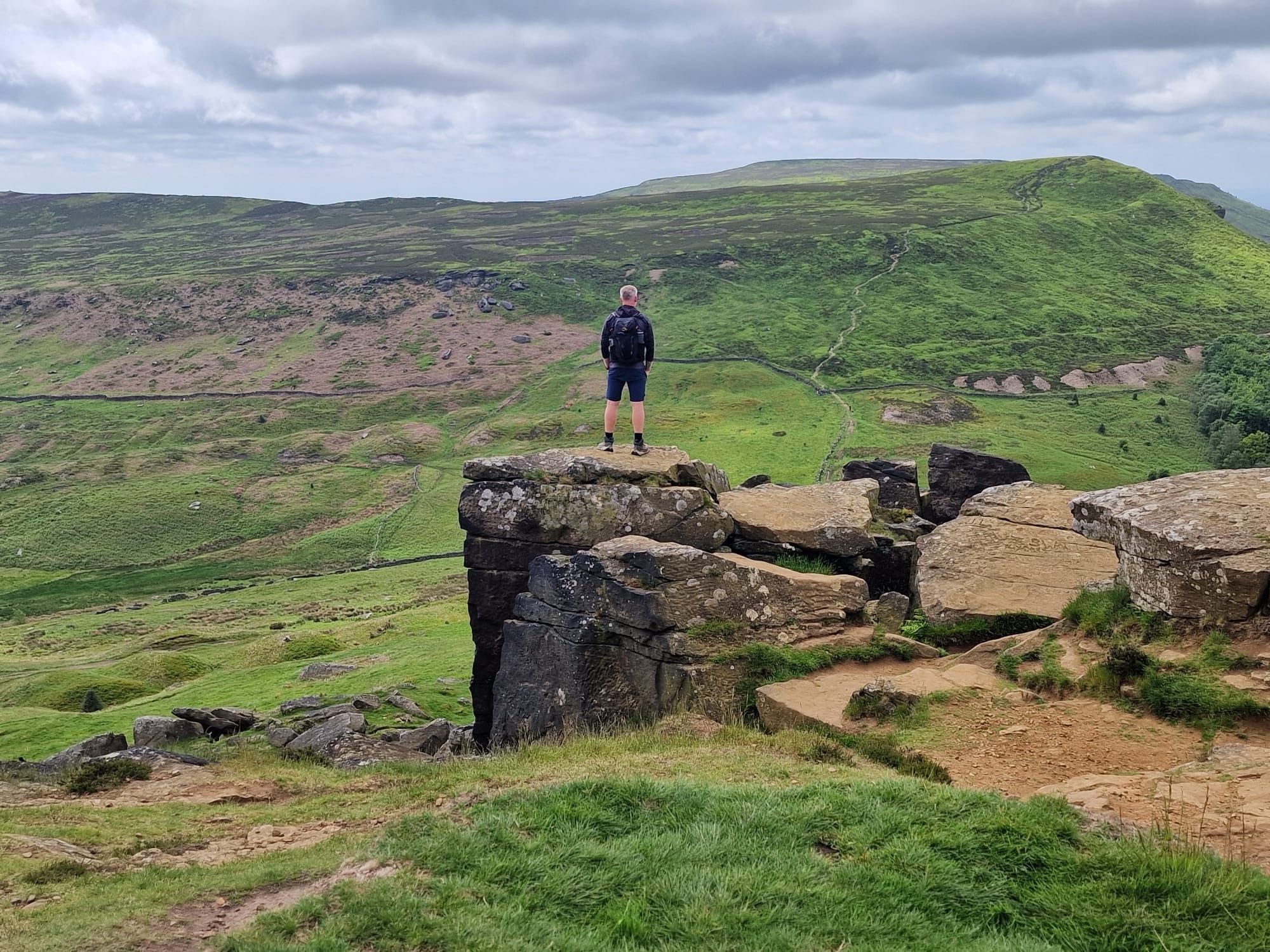
They really are an impressive sight and we passed some time here watching the many rock climbers enjoying the challenges of climbing Steeple and Needle. We’d also read in the guidebook that we’d see the ‘liquorice allsort’ cattle dotting the hills, and indeed on our final descent we spotted the hardy Belted Galloways on the opposite hillside. Todays walk was the most challenging of the week, but perhaps also the most rewarding!
After a long wet winter and spring, we choose June to complete our walk as we hoped the sun would be shining, and today on day two it certainly did, the hottest day of the week.
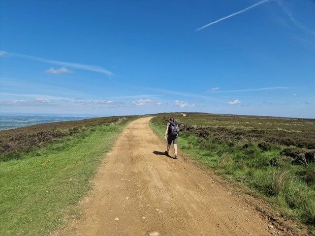
After a good nights sleep, and a top class breakfast at The Wainstones Hotel, we headed off along the same path as people completing the famous Coast to Coast Path. We were lucky to have time to stop and chat to various people walking the 190 mile route – some from Australia, Holland and the UK, before they headed off in one direction and we continued along the moors in the other. Most of today was spent up high on the moors which meant we could again enjoy the panoramic views across the county and towards Captain Cooks Monument which marks the end of todays walking day. The famous landmark of Roseberry Topping, known as Yorkshire’s Matterhorn was also clear to see throughout the day. After dropping down off the moors, a pleasant walk along country lanes and through woodlands bring you to Captain Cooks Monument.
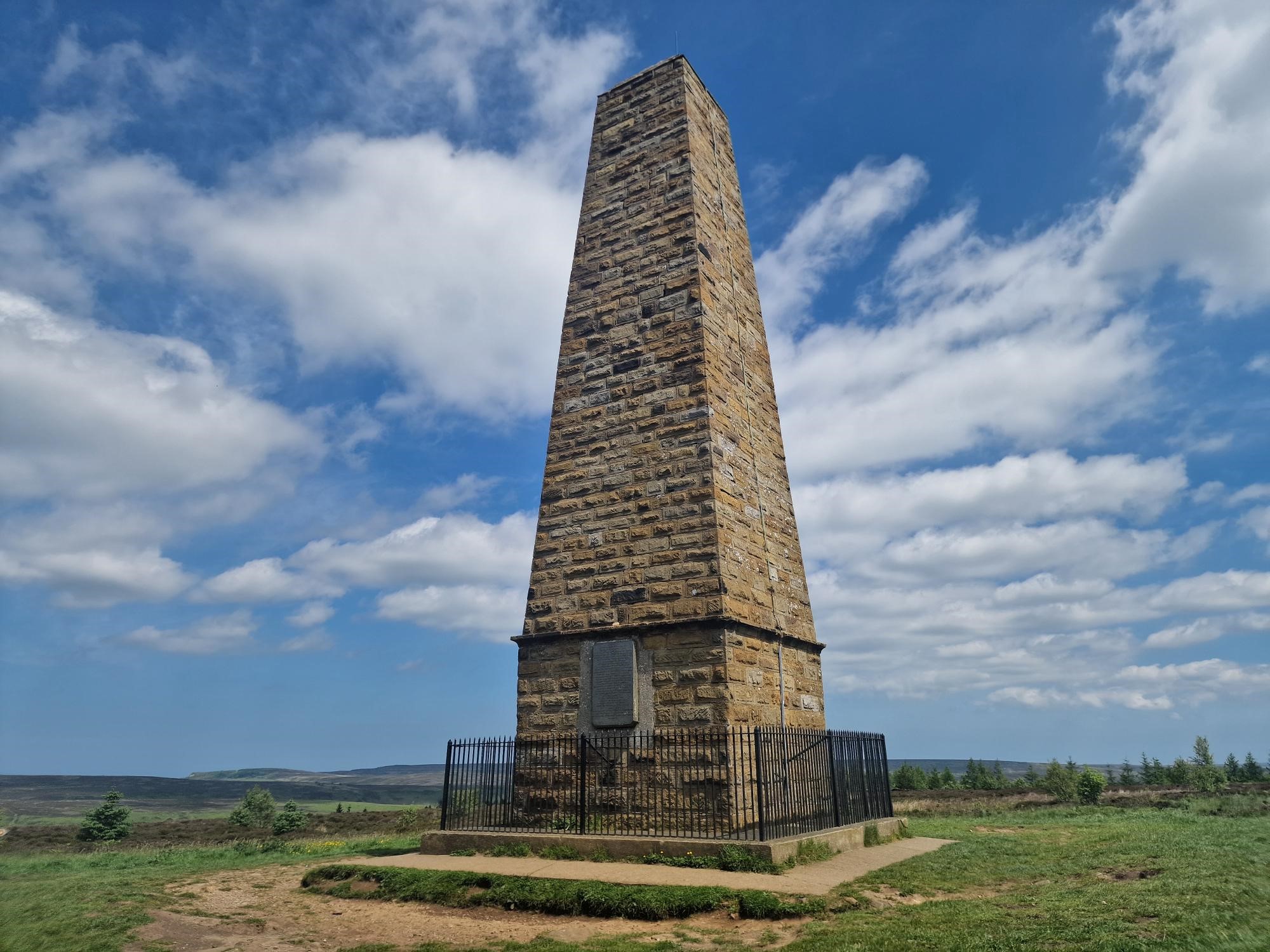
As the sun was still shinning when we arrived at our accommodation, and coupled with the fact today was also my birthday – we enjoyed a couple of drinks in the beer garden, discussing the next day which would see us heading on towards Saltburn, our first coastal destination.

After another great nights sleep and lovely breakfast – we have certainly been spoiled so far with lovely accommodations and great hosts – we headed towards the first landmark of the day – Roseberry Topping. Standing at 320 meters it’s one of the smallest peaks in Yorkshire but certainly has some of the best views, definitely worth the short ten minute climb to the top.
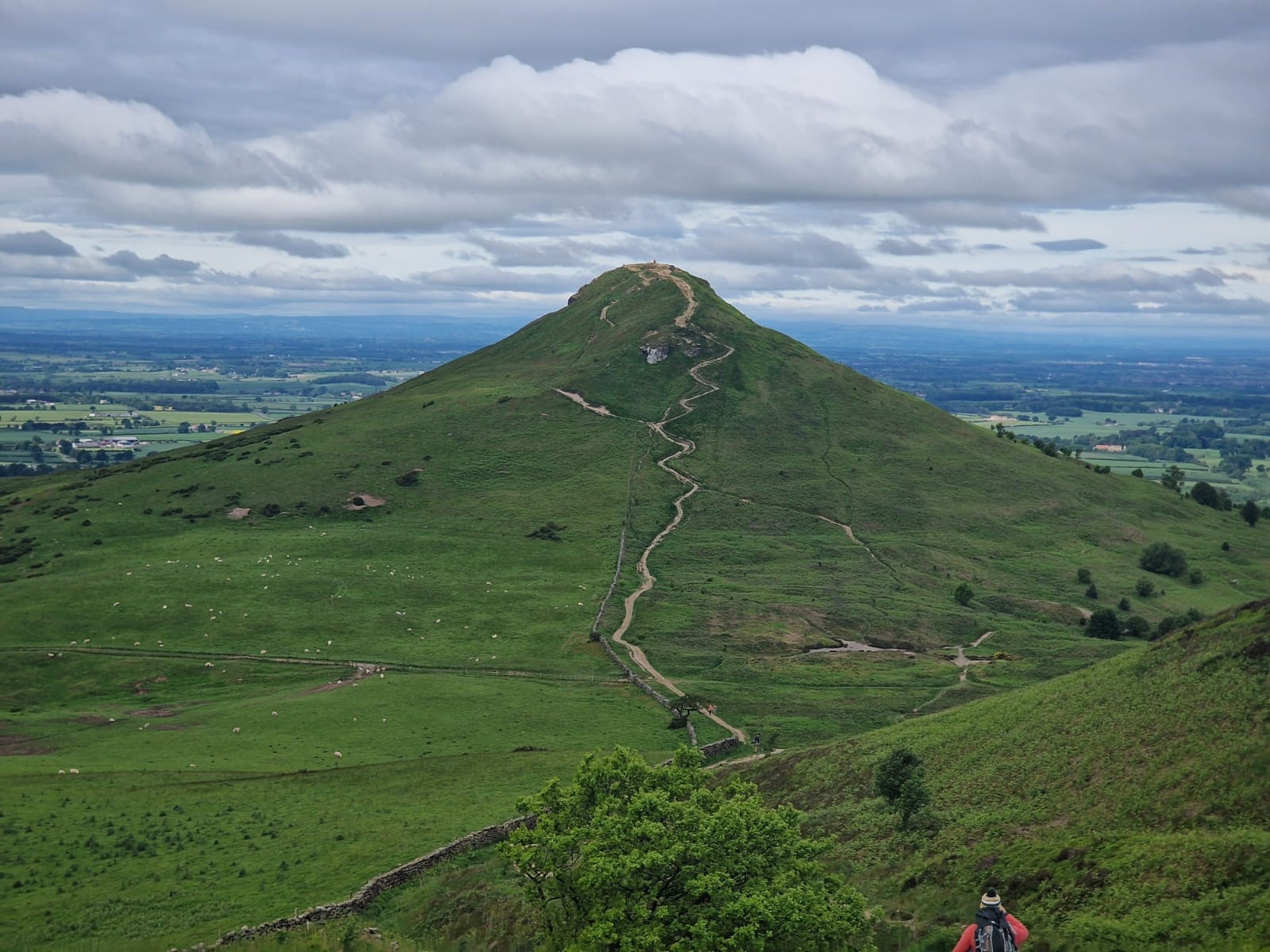
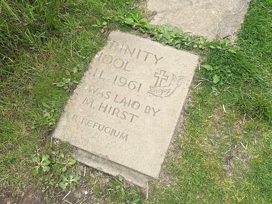
It’s then time to head along another paved path across the last section of moorland with views over Guisborough and accompanied only by the occasional grouse (was it the famous one?) and the call of a nearby cuckoo. I had my eyes down on this section as I wanted to spot the broken slab, described in the guide book as ‘the mystery stone’, bearing a date, a name, a cross and a fish.
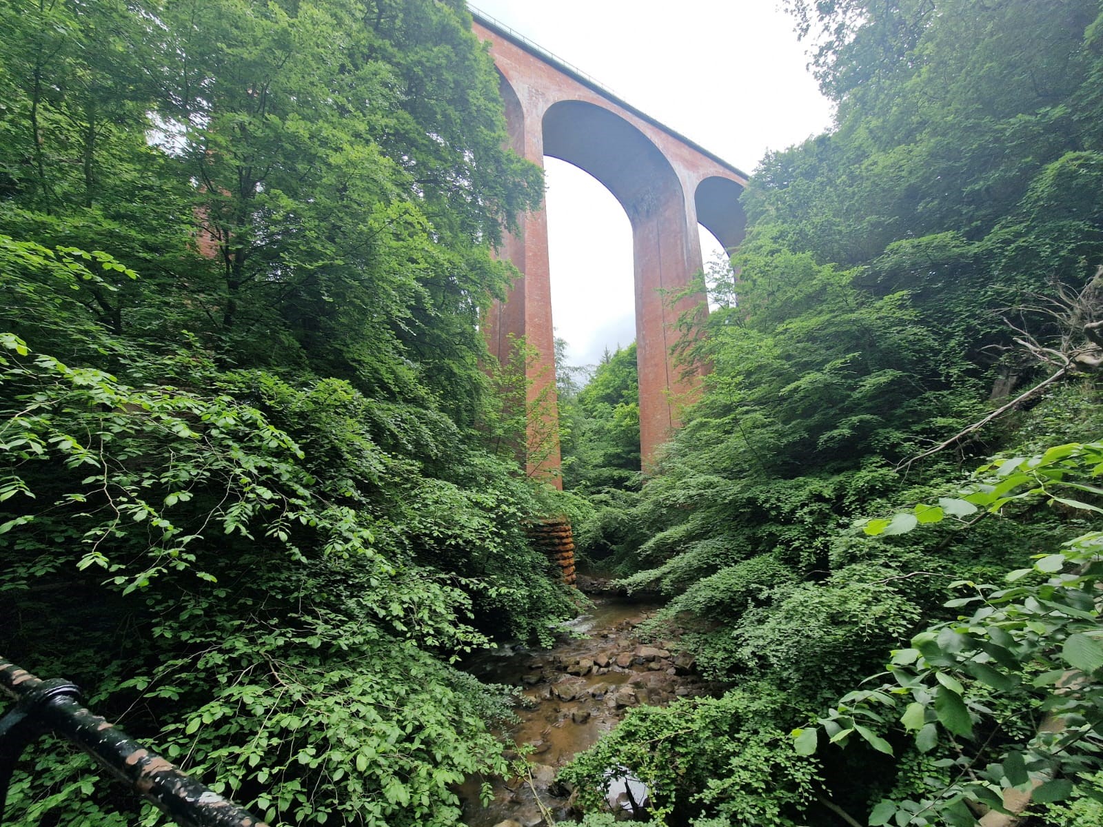
The second part of the day led us along woodland paths and country lanes, and under an impressive Victorian viaduct before reaching Saltburn – our first taste of the Victorian history clear to see throughout the seaside village.
Saltburn’s Victorian heritage is beautifully preserved and a walk along it’s pier and on it’s traditional cliff tramway, built so the Victorian Ladies didn’t have to climb the steps from the promenade up onto the street, is a must.
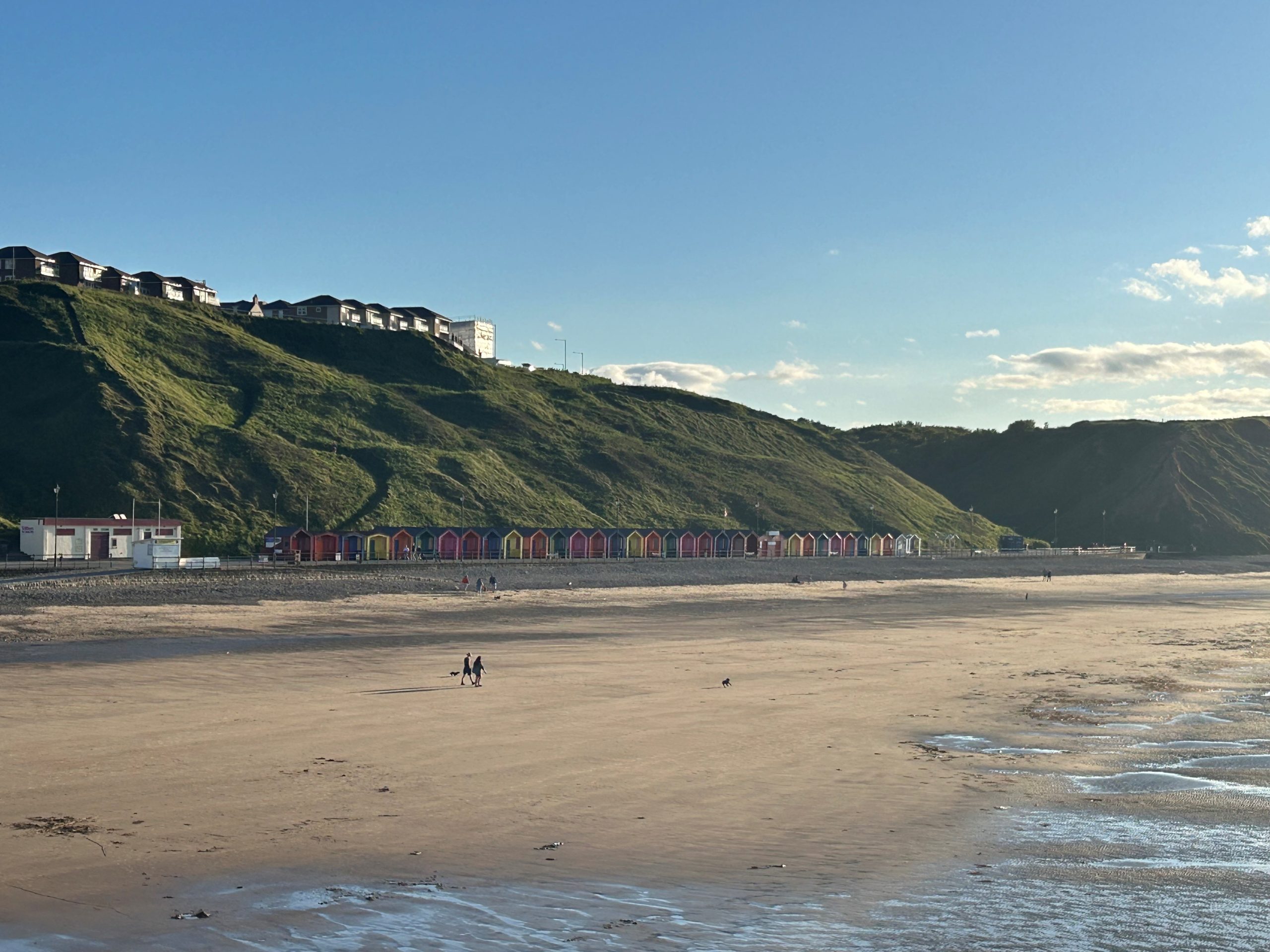
Leaving Saltburn behind the next day we headed up onto the cliff top for our first coastal section of the week. Make sure you take the time to stop and look back over Saltburn to get a lovely view over the beach with its vibrant beach huts dotting the shore.
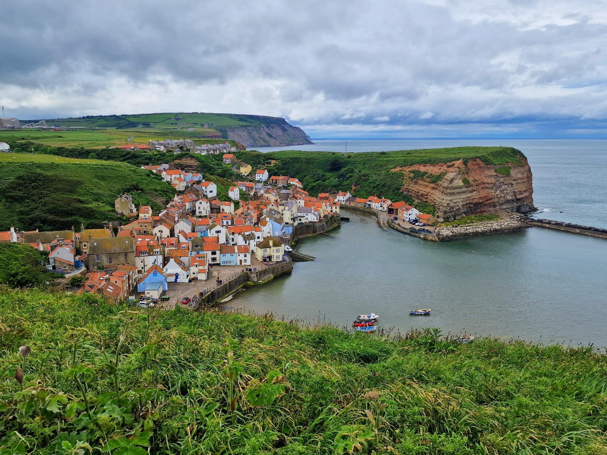
Rain was forecast from early morning until late afternoon – so much for the British Summer! However luck was on our side and we only encountered a couple of showers. Today was spent up on the cliffs with an amazing view across over the moorland we had walked over days earlier on one side, and the wide open North sea on the other. Today I was particularly looking forward to visiting the tiny fishing village of Staithes. Clinging to a hillside, it’s an unmissable destination to explore. The village certainly didn’t disappoint with its quirky shops, art galleries and cafes. It is definitely worth taking time out of your day to explore the winding cobbled streets. After a glass of wine and an oyster – they don’t get much fresher than in Staithes – we continued on along the cliff top to Runswick Bay, our overnight destination and where the sun greeted us.
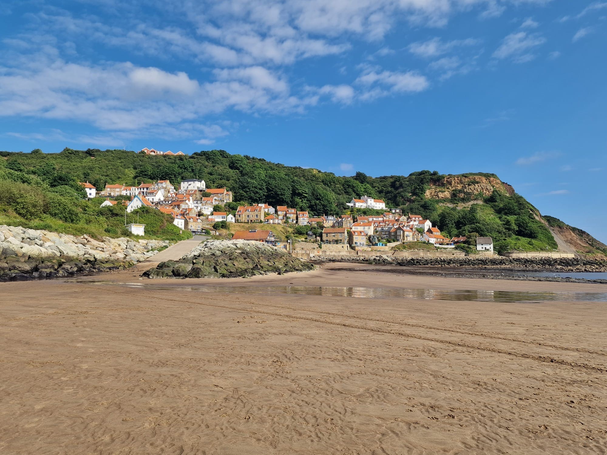
Similar to Staithes, Runswick Bay is set on a hillside, and as the name suggests, around a bay. The Bay is perhaps one of the prettiest along the coast. I couldn’t resist collecting some shells and sea glass to take home as souvenirs – reminding my self not to collect too many as we still had a few more miles to cover before the end of our trip.
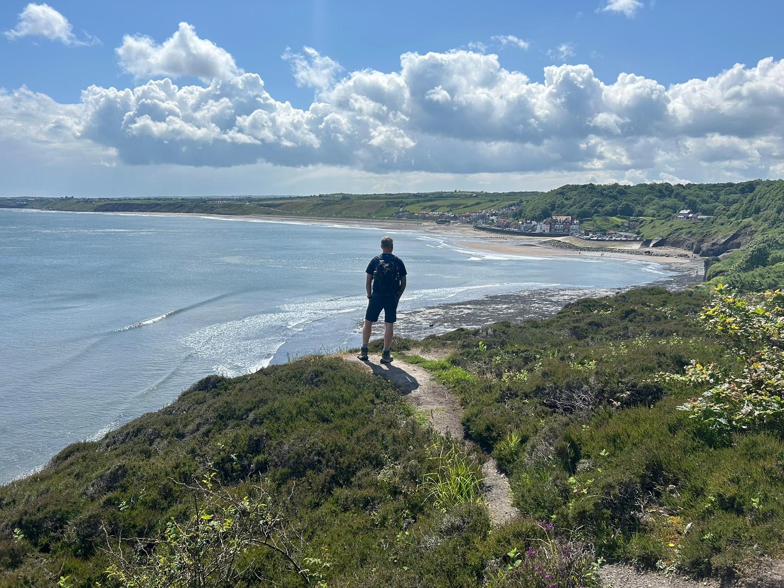
Leaving Runswick Bay behind the following morning, Whitby was our destination, only 8 miles away, our shortest walking day, but possibly the best! We walked across the beach and up the side of a small waterfall, before heading up some steps to the cliff top. As with the previous day, you definitely need to turn round and appreciate the views back across Runswick Bay. If I had to choose, this would possibly be the best view of the walk!!
More coastal views and seaside villages met us along the way – and possibly a dolphin or two, but we can’t be sure. We definitely need to pack the binoculars next year!
With Whitby in our sights and a quick stop off in the small but bustling village of Sandsend the final stretch took us along the promenade into Whitby – passing through the famous Whale Bone Arch and arriving at Number 7 Guesthouse where we were greeted by our friendly hosts Richard and Joanne. We’re due to stay here for two nights as we have a rest day in Whitby tomorrow before making our final journey to the end of our walk in Robin Hoods Bay.
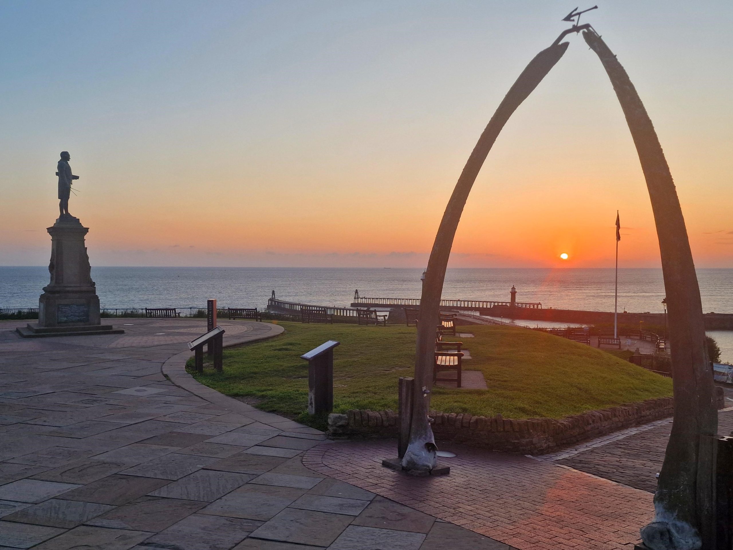
On our ‘rest day’ we had an early start to catch the sunrise coming up over the sea, it was definitely well worth it and didn’t disappoint. After breakfast we headed up the 199 steps to Whitby Abbey.
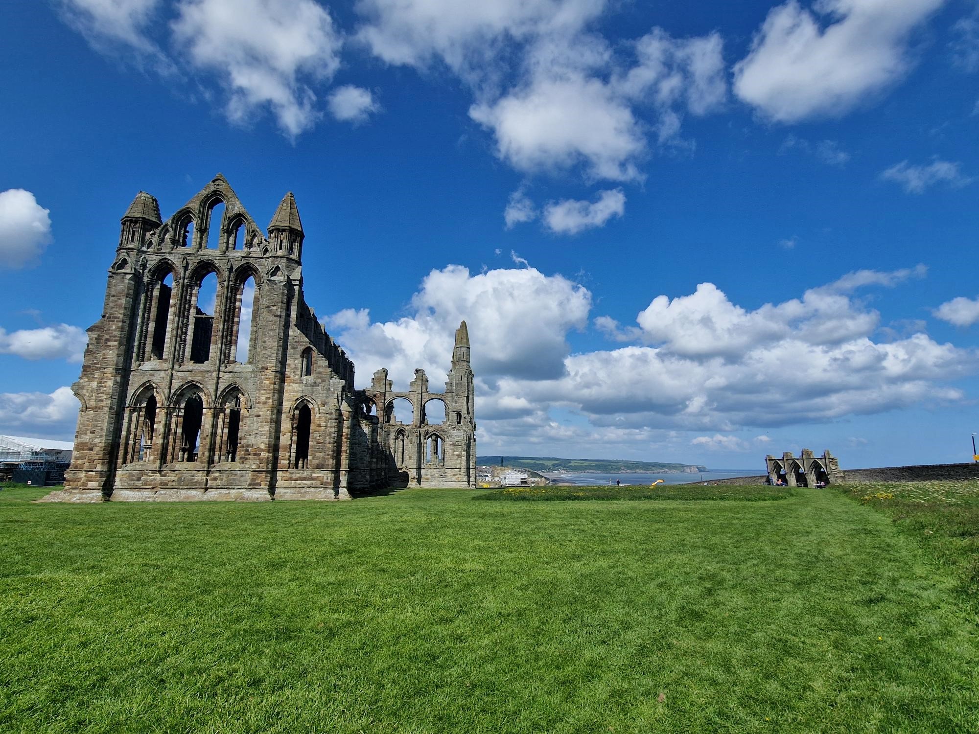
After exploring the Abbey and finding Dracula’s Grave in the church yard, we headed out on a boat trip, where we were greeted with views of where we had walked yesterday and where we were due to walk the next day. A trip to the seaside wouldn’t be complete without fish and chips – our dinner choice for tonight at a lovely restaurant called The Fishermans Wife, with views out towards the sea and cliff tops, it doesn’t get much better than this.
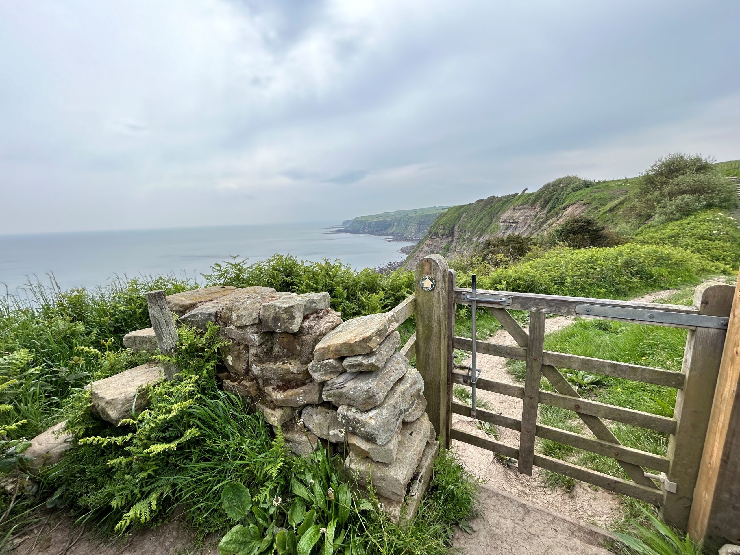
Our final day, another lucky day with the weather and the sun was shining as we again headed up the 199 steps and past the Abbey. The views back down onto the harbour are spectacular from here. Another day spent walking along clifftops before dropping down into Robin Hoods Bay, which marks the end of our walk. Here also marks the end of the Coast to Coast route mentioned earlier – tradition has it that a stone is collected at the start of the walk in St Bees and then dropped in the sea here at Robin Hoods Bay, it was great to be able to watch a handful of walkers traditional rituals.
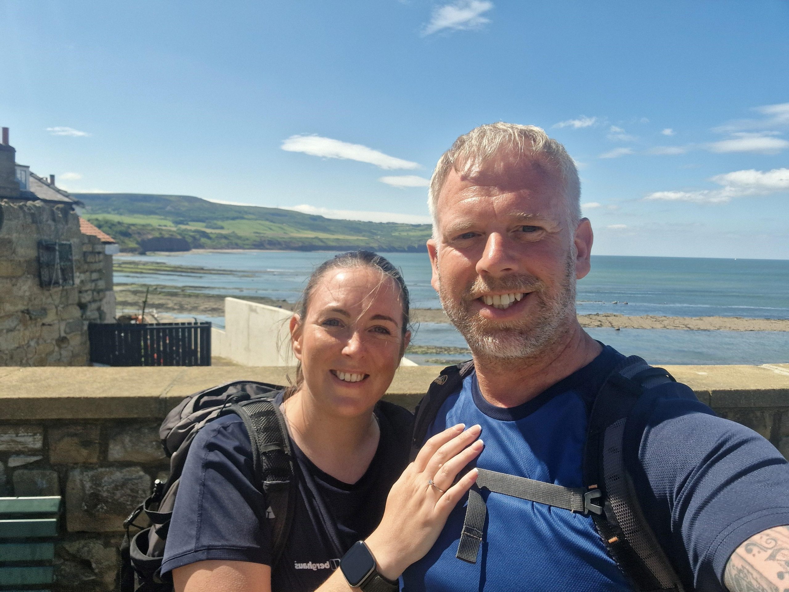
The Cleveland Way has not disappointed so far, we’ll be back in July to complete the final section between Robin Hoods Bay and Filey.
A great choice for our second long distance walk. Although slightly tougher with more ups and downs than the Northumberland Coast Path. We enjoyed every minute and have definitely caught the long distance walking bug – many conversations revolved around what we would choose for our next walk.
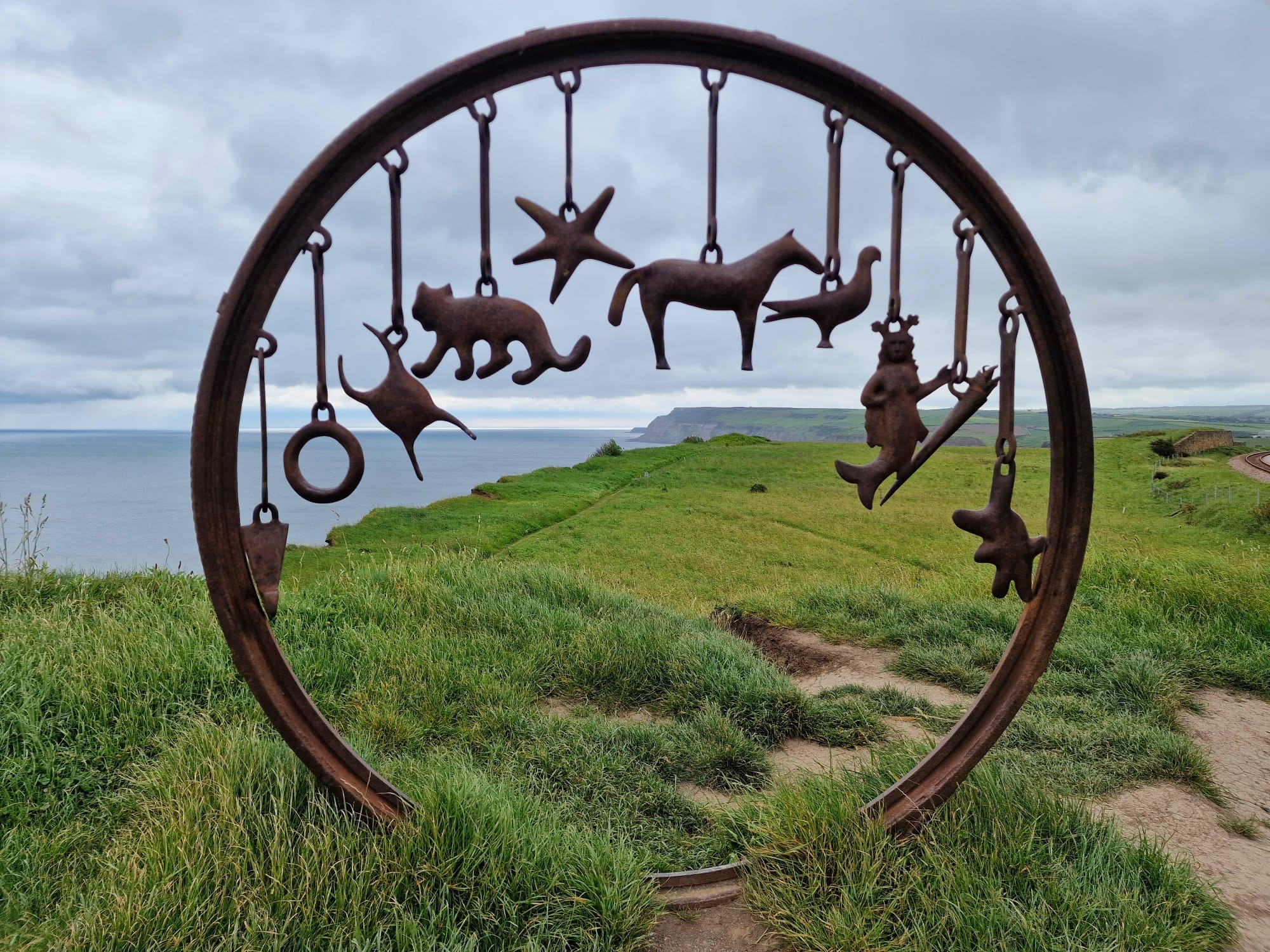
Anyone choosing the Cleveland Way will be rewarded with breathtaking views across the Yorkshire Moors and a visual feast along the North Yorkshire Coastline. Landscapes steeped with history from ancient burial grounds and coffin routes, quarries, mines and old alum works. Along with tales of Captain Cook the explorer and Bram Stokers Dracula – there is always something to keep an eye out for and history to read about and discover.
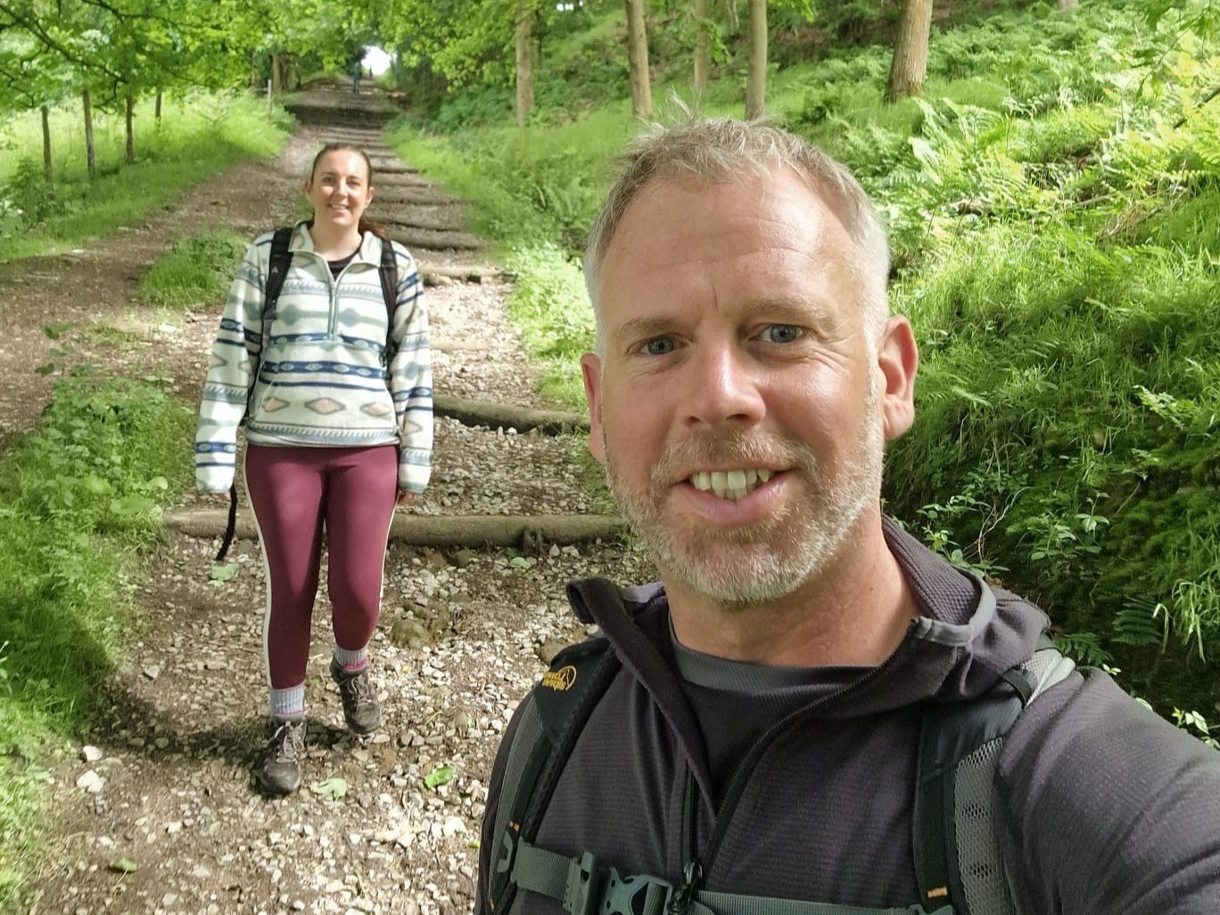
The Cleveland Way is one of our dog friendly routes, we didn’t take ours along for this section but we met lots of people along the way who did have their dogs who were also thoroughly enjoying it – especially the beach sections.
If Sarah has inspired you to walk the Cleveland Way email us [email protected] or call us on 017687 72335 to speak Sarah and our friendly team of walking holiday experts. We offer 3 itineraries over the entire length of the route from 7 to 11 days, and we have 3 shorter breaks, with mainly 5 days walking, covering the moorland section, the coastal section, and finally, as described here, a bit of both. As Sarah has highlighted, each of the holidays have dog-friendly options.